Coldest Yet...
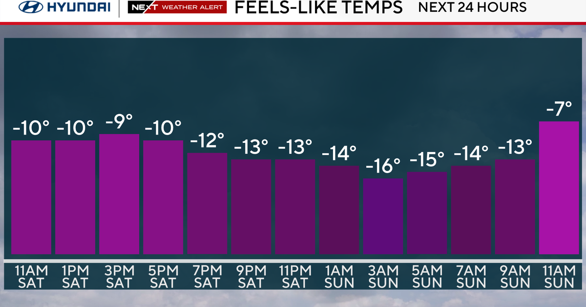
Storm system is pulling away but the cold has been left behind. Twelve of the last fifteen days have featured below normal cold and that next few days will follow suit. A coldfront will slip through tomorrow night with a reinforcing shot of cold...the front will kick off snow showers and squalls for the mountains and deliver us the coldest air of the season. Highs on Friday will hover around 32 degrees! That cold will be dense and tough to budge on Saturday...it will hug the surface and temps will stay in the 30s all day long. At the same time, warmer air will begin to work back into New England. This will occur first higher in the atmosphere...the warmer air riding over the colder air will produce an area of snow for Southern New England during the day on Saturday. While the column of air will be cold enough for mainly snow the lowest layer know as the boundary layer may warm just enough near the coastline for rain to mix in. Regardless, some minor accumulations will be possible on Saturday, especially away from the coast...amounts should be small but could exceed an inch in elevated areas.
The warmer air will continue to chew away the cold Saturday night and warm SW flow will produce above normal temps for several days in a row...50s and maybe even 60 degrees Sunday through Wednesday!


