Colder Air 'Backs In'
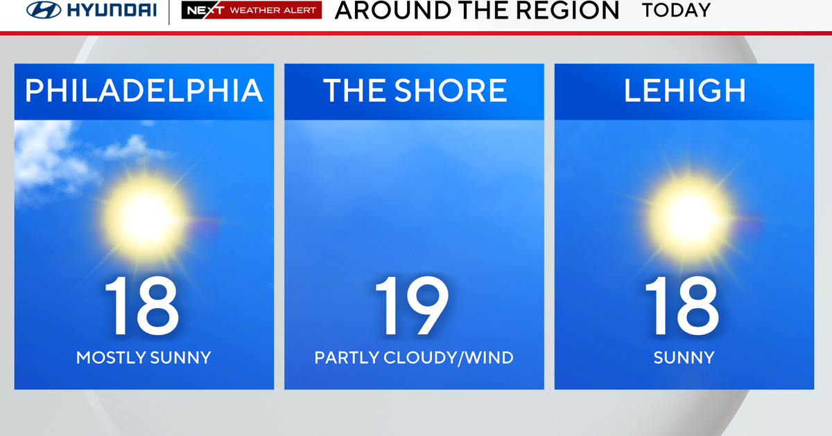
It's going to be a bright, sunshiny day inland, but a different story for the coastal plain where there will be more clouds and fog throughout the afternoon. Highs will reach 50-60F degrees (coolest coast) due to a backdoor cold front making its move. Winds have already shifted to the north-northeast along the coast this morning, and it will continue to shift for the 'burbs to the west throughout the day. This will be the culprit for a large temperature spread from the coast to points west. Temperatuers will tumble into the 40s by dinnertime. There will be a chance for a few showers (mainly far north and west) this evening and early tonight due to a trough (cold air aloft) sweeping across New England. Otherwise, tonight will be partly to mostly cloudy with patchy drizzle and fog for areas along the coast.
Onshore winds will keep temperatures on the cool side, especially along the coastal plain, through Thursday. Thursday will be partly sunny (more clouds and fog along the coast) with highs in the upper 40s along the coast to the lower 50s inland. An onshore southeast wind will continue to provide cooler temperatures along the coast on Friday. Friday will be cloudy, damp, and showery with highs near 50F.
The last weekend of Winter 2012 is going to be a nice one! St. Patrick's Day will begin with an early morning renegade shower along with excess cloud cover before a low (inverted trough) departs and high pressure gains 100% control. A blocking ridge will continue to strengthen and build. This will set-up a gorgeous Sunday with sunshine and highs in the 60-65F range.
Temperatures will make a run for the 70s early next week as we end the winter season and kick-off spring at 1:14am Tuesday, March 20.
Halfway to the weekend...
~Melissa :)


