Cold Begins To Pull Away Today...Only To Return Again
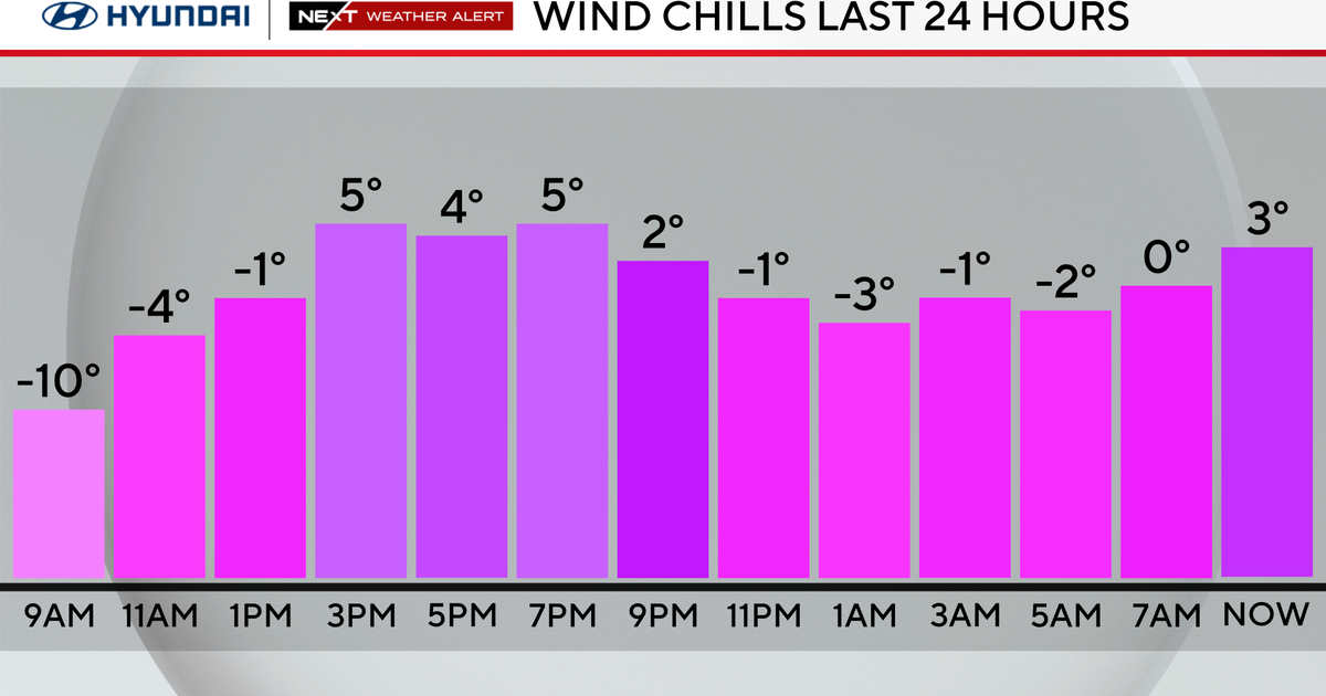
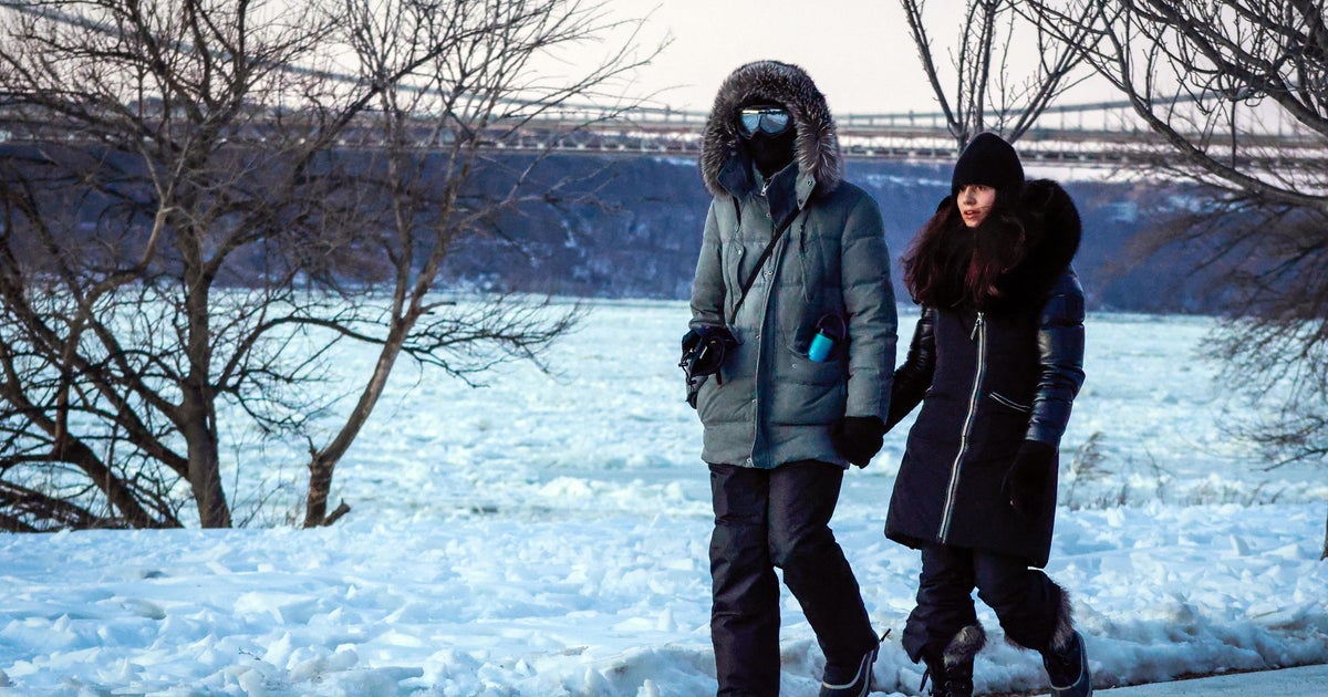
High barometer cold in place this morning. Impressive cold across many northern valleys in this Arctic airmass. Snow covered ground in these regions is helping to refrigerate the cold.
-20 in Fryeburg, ME
-14 Montpelier, VT
-16 Berlin, NH
-13 Lebanon, NH
-14 Sanford, ME
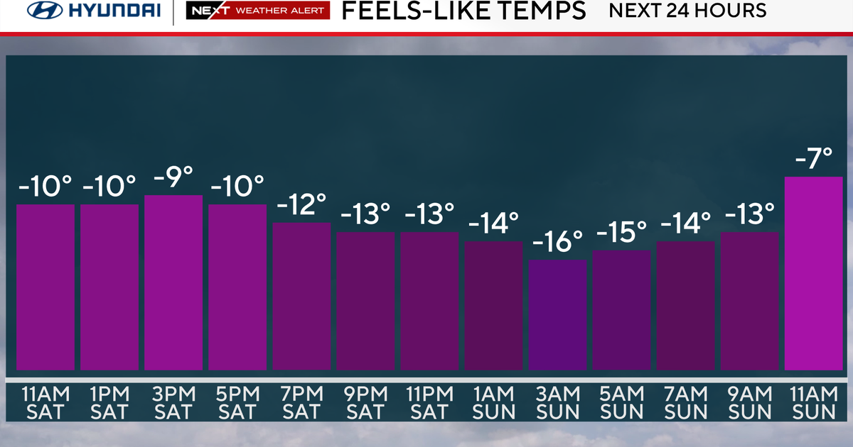
That is some real deal cold Arctic air! Good news today is this cold is going to begin to lift out. Already signs of the warmth moving in with high thin cirrus clouds on the move. Also colder in the valleys than on top of the mountains. Big blue high pressure sitting over us is providing a calmer day with less of a wind chill factor. This high will be pulling off the coast and begin to wrap in warmer SW during the afternoon. This will allow temps to continue to rise through the day, but it will be a slow warming.
Check: Current Conditions | Weather Map Center | Interactive Radar
In fact it will take the entire day of warming just to reach 32 degrees. But this will feel a whole lot better than yesterday! High clouds will continue to increase making for filtered sunshine this afternoon.
Watch Joe's Forecast:
Clouds thicken tonight with overrunning SW winds aloft. Eventually scattered rain and snow showers are expected to develop around midnight. Much of eastern MA will climb above freezing so showers are expected overnight. A winter weather advisory from 10 p.m. to 10 a.m. Tuesday has been issued for Worcester County westward, including SW NH and portions of CT.
Temps will remain borderline or below freezing overnight, so more of a wintry mix is expected here after midnight.
What may start off as a brief burst of snow in these areas will transition to pockets of sleet and freezing rain in these interior valleys and hills as warmer air continues to move in aloft with colder air hanging tough near the surface. A few areas will start off icy tomorrow where the cold air hangs on, but this will not last long with SW winds bring in warmer air. Any mix will change to periodic showers Tuesday. Highs will be climbing into the 40's, nearing 50 on the Cape. Where we get that early mix in the NW, highs will remain in the 30's near 40 with a bit more cold air damming, so slippery spots across the north will be a bit more prolonged into the morning.
A strong cold front will push through early Wednesday morning. Temps will start off in the 30's, but will plummet in the afternoon with gusty WNW winds as low pressure pulls away into the maritimes, and another Arctic shot of air comes spilling into New England by later in the day. Lost of sunshine Wednesday into Thursday thanks to the heavy cold dry air shifting in from Canada. Highs Thursday will only be in the 20's near 30.
Thursday night another short wave will begin to approach and that looks like it could provide us with one of those "surprise" accumulating snows.
It looks like a weak clipper will push through, and I would not be shocked to see this drop a dusting to two inches on the ground before this quickly pulls away on Friday. This low will reinforce the cold in place, keeping temps near 30 to 32 to end the week.
The weekend shows signs of a gradual warm up, but right now it is impossible to have any real confidence on what is going to happen.
Models are hinting at another wave of low pressure tracking towards us but mostly staying south of the region. The northern fringe may push into southern New England late Saturday for a brief burst of rain or snow.
It's proximity off the coast Sunday could keep some clouds around as well as a cooler onshore wind. This will need a bit more time and fine tuning before giving out the Foxboro forecast.
Behind all of this, no more arctic air is likely for the rest of the month of January. A mild pacific flow to the jetstream is likely.
How 'bout them apples?


