Cold Air Holds Tough for Wintry Mix Sunday
Cold high pressure in Canada is supplying dry, much colder air into the region today. Bright sunshine for Saturday with light NNE winds with highs climbing into the mid-upper 30's. We are watching a storm center in the midwest, along with numerous pieces of energy going all the way back into the Pacific ocean which is going to make for a colder and more active weather pattern which should take us into the new year.
Let's take one storm at a time shall we? As with a pattern like this, tracking troughs, shortwaves, and temperatures...subtle shifts will create important changes which could affect you. We will be keeping a close eye on the radar almost every day this week, so please stay tuned and we can make it through together!
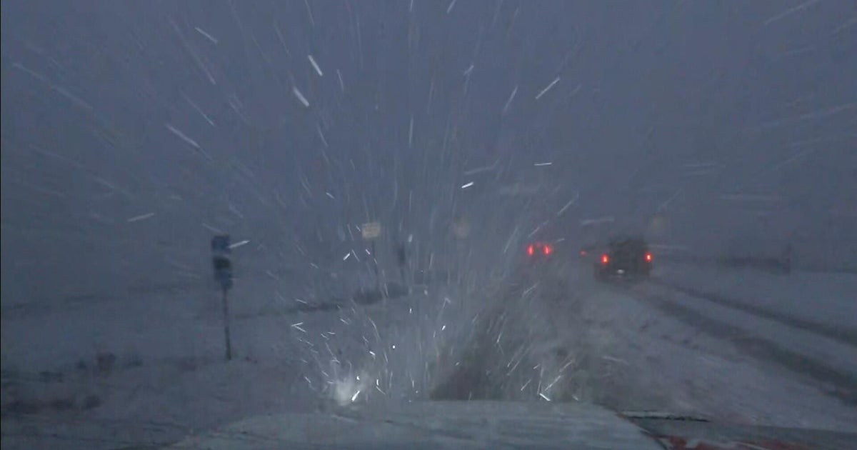
Wave number 1 is currently in the midwest and will be tracking into the Great lakes. There is a good amount of moisture with this storm which will be pushing east and arriving in New England Sunday morning. Temperatures will be cold enough upon arrival to start as a burst of light snow Sunday morning in many areas. Light snow will continue to fall into the afternoon with a classic overrunning set up with warmer air overriding the colder air at the surface.
East winds will begin to push in a warmer maritime airmass during the afternoon off the 48 degree water. This will help to scour out any cold air across SE MA, RI & CT up to Boston during the mid-late afternoon hours...allowing for any mix to change to rain. Yet, cold air will hold stronger around the 495 belt North & West away from the marine air which should keep it snowing into the night with a gradual change to sleet and freezing rain during the evening. Accumulations of a coating to 2" will be possible in these colder spots for Worcester county to the Merrimack Valley before any change over. Cold air will be deep across Southern New Hampshire where less mixing will occur. Precipitation should remain mainly snow where 2-4 of snow is possible with locally heavier amounts in elevated areas like the Monadnock region or even toward Concord or Laconia where up to 5-6 " of snow may fall before finally winding down Monday morning.
The concern is Sunday night. Areas NW of Boston which are seeing snow or snow changing to freezing rain to become quite icy. The Rt 2 corridor, outside of 495 up into SNH could be quite slick on untreated surfaces. Monday morning's commute could still be icy in these areas..so it is something you should prepare for.
This initial wave will push off the coast Monday morning leaving a cool misty day with NE winds, but another low pressure system will be riding up along a cold front and right into New England for Monday Night into Tuesday morning. This low will come with even warmer air...so the cold will be fighting a losing battle..as most of the will come in the form of rain. Ski areas across the far north and into the mountains of ME should retain enough cold to keep it snowing into Tuesday with some mountain resorts likely picking up over a foot or more of snow!
This low will be pulling off the coast Wednesday with breezy NW winds...Any lingering shower, sprinkles could see a brief change over to a few snow showers or flurries as the storm departs with cooler air settling in on the back side. I expect any precipitation to be light on Wednesday...but the air will still be spitting with a few raindrops and flurries.
Thursday should be dry with sunshine and seasonally cool air. Another low will be tracking into the Northeast by Friday. With a storm so far out, this track could easily change...but today the low appears to take another inside runner at the start tracking to the Great lakes, with a secondary low along a cold front moving right through the region bringing rain, with a change to snow as the low deepens off the coast. The best chance of snow appears in Northern & Western New England in this event.
In summary, it may be a bit of a struggle to get a white Christmas in Southern New England. Any accumulation Sunday will be washed away with Monday night's rainfall. Then it will all come down to the Friday storm...whose track could change...but right now just does not look like a cold storm track. The good news is northern New England will have a better chance of having some snow on the ground...especially the farther north you go.
It is a very active weather pattern, which could come with quick changes...so stay tuned. This is all part of a change to a more wintry pattern which will likely taking us right into January.
