Coastal Storm Hovering Around
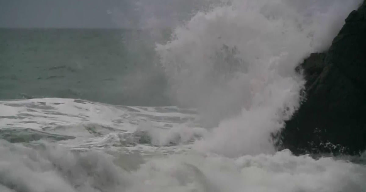
The coastal storm to our east will continue to affect our weather conditions through Wednesday. Then, the end of the workweek is looking much better.
Watch Melissa's forecast:
Here's a look at a weather model showing the coastal storm to our east and the building 'Omega Blocking' ridge to our west...
A few shortwaves will spiral around the western periphery of the coastal low which will induce clouds (especially inside the 128 corridor) and will also be the culprit for a few AM showers across southeastern Mass and a few late-day showers possible for coastal Mass.
Highs will range from the lower and middle 50s for the Cape/Islands to as warm as the middle 60s for inland locations, which will have brighter skies. A few showers can be expected inside the 495 corridor tonight and through early Wednesday evening. Highs wil be in the 50s for the Cape/Islands... lower 60s inland. Winds will be gusty from the NNE as well.
By Thursday afternoon, we can prepare for improving conditions. Highs will be in the lower to middle 60s... cooler at the coast. Friday will also be a good-looking day with highs in the upper 60s... cooler coast.
Melissa :)


