Coastal Storm Churns South
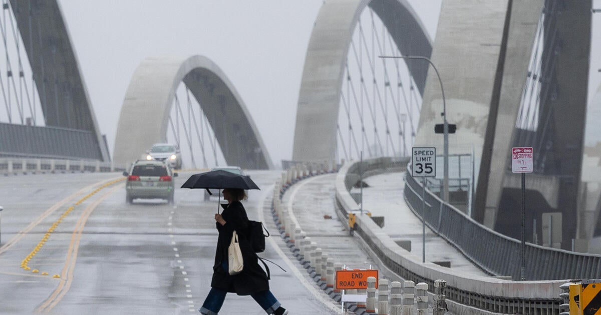
An impressive coastal storm remains parked off the Carolinas providing heavy rain for the Mid-Atlantic states with winds gusting from the NE 30-50 mph at the Coast from Cape Hatteras to Virginia Beach. It is a strong coastal storm with lashing rains. Strong NE winds are pushing waves onshore to create coastal flooding up and down the coast from Southern NJ to VA.
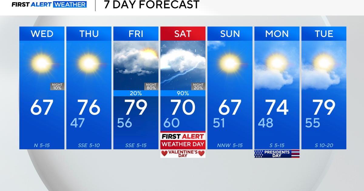
Meanwhile, here at home, High pressure remains anchored off the our coast with cool dry onshore winds from the NE which helped to keep temps in the Lwr 60's today. This high will remain over us tonight to keep us dry and cool with lows dropping into the Lwr-mid 40's. This high will weaken just enough, and pull just east enough on Thursday to open the door for clouds to continue to stream into New England and thicken. We will likely experience the northern fringe effects from this coastal storm with the brunt of the storm remaining well south of New England. Still, showers will break off this low and begin to arrive in SNE Thursday afternoon. The best chance of rain will be along and south of the MA Pike. Some of our latest models even have some locally heavy rain getting steered into SNE Thursday afternoon-through Early Friday. It is a close call in how heavy this rain will be, but it is a safe bet that showers will be arriving and it will become wet in parts of SNE through this time period. Some of our models have us staying mainly dry...so we'll see. At this point it is best to prepare for a time of some cool wet conditions.
The strong winds and surf form this storm will likely remain south of New England, but Nor'easter like conditions with seas 3-6 feet. and gusty NE 15 to 30+ mph could be found along the south coast to the Cape and the Islands during this time through Friday. North of the Pike, especially in Northern New England...this storm is a non- event. Dry air will hold strong enough that you should be able to hold onto a good deal of sunshine heading into the weekend.
Strengthening high pressure from the Canadian Maritimes will shift from Nova Scotia under upper level ridging in place. This will help to push any effect of the coastal storm to our south and help to reinforce better weather across New England for the weekend. The only concern will be low clouds sneaking in off the water for Saturday with a backdoor front. Saturday has the potential to see clouds in the morning, with brighter skies by afternoon. Sunday will be a fine day as well with more sunshine. Cool onshore winds wrapping around the high will keep cool onshore winds at the coast Near 60 with slightly warmer temps inland in the 60's near 70..especially in Western New England


