Coast Clear for Now...
Another long afternoon with a rotating thunderstorm cell sweeping through Western and Central Mass. Numerous funnel clouds were spotted but to this point no confirmed tornado. Regardless, this was a dangerous situation with large hail and damaging wind gusts.
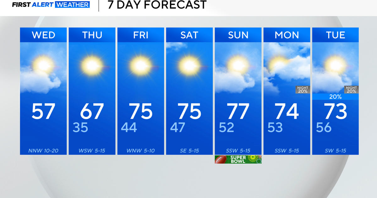
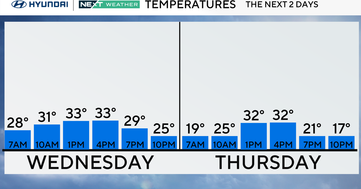
The air following these strong storms will be flowing in from Canada...much more comfortable...and by tomorrow morning we will already notice a difference. With high pressure moving in expect lots of sunshine Wednesday and Thursday will lower levels of humidity. By Thursday afternoon, warmer air aloft will start working in and some high clouds will join the warmth.
That surge of warmer and more moist air will act like a warmfront early Friday morning and a few clusters of showers or thunderstorms will be possible very early in the morning on Friday. Depending on how much sunshine we see, Friday afternoon may end up eventful again with thunderstorms.
The weekend is still looking good, albeit a bit on the hot side with highs near 90.


