Close One...
The pictures from Northern New England are sad...major ice storm is ongoing for parts of Vermont, New Hampshire and Maine with power outages in the tens of thousands. We basked in Spring-like warmth over the weekend but the cold air has shoved the warmth out of here and temps have fallen into the 30s now over most of Southern New England. A slow-moving cold front is marching through the Northeast...the front is loaded with moisture, tapping the Gulf of Mexico and steady rain is falling for most. A wave of low pressure is riding up along the front delaying the end time of the rain until the evening. Sub-freezing air from the north has bled south and several communities near and or NW of Boston are hovering around 32 degrees...this is creating very slippery conditions which will persist through mid-afternoon. In fact a glaze of ice is likely on any untreated surface like sidewalks, driveways and decks so throw don;t some salt before you end up in the emergency room with a broken wrist. If temps were just one or two degrees colder we'd have big problems...unlike up north, I don't expect many power outages.
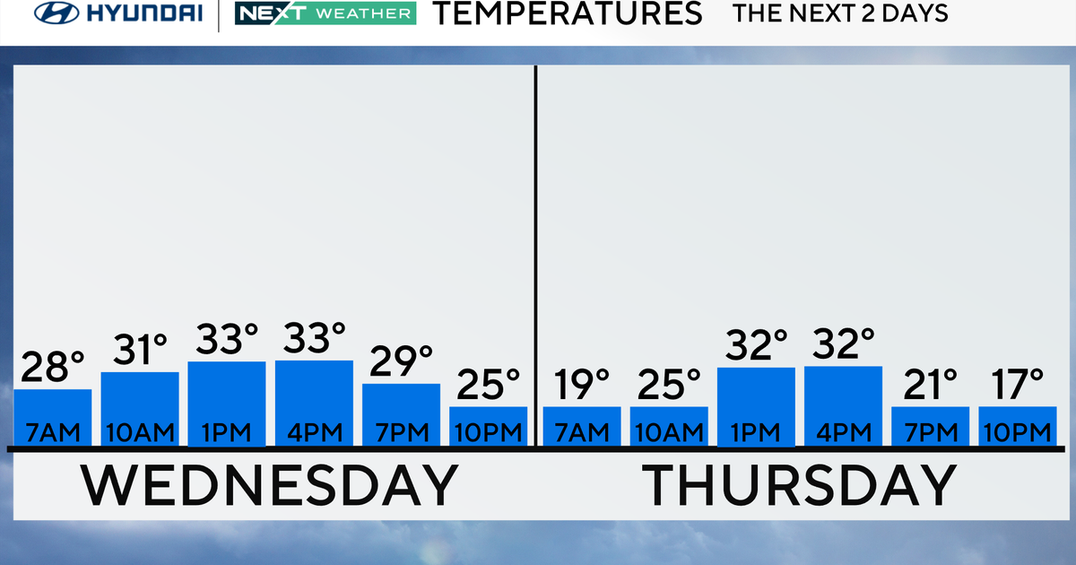
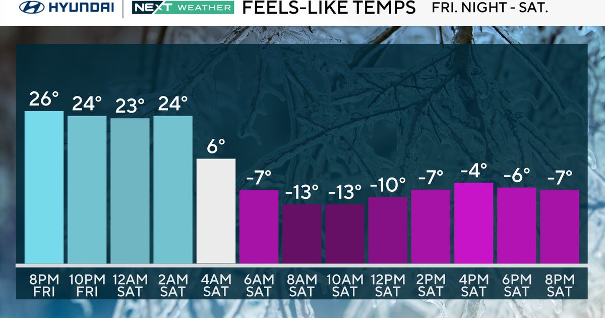
The ribbon of rain shifts offshore later this evening and another very cold air mass works in over the next 24 hours. It will take most of tomorrow to get to us and after a couple of snow showers Christmas Eve evening temps will take a nose-dive for Christmas Day and highs will only make the middle 20s even though we'll have lots of sunshine.

