Clock is Ticking...
We missed the record high by just three degrees in Boston this afternoon...we topped out at 63! Tomorrow will be nearly as warm but unfortunately wet weather will taint the day.
This is the week we transition back to cold...downstream blocking over Greenland will buckle the jetstream in the East and allow for colder air to work south from Canada for the first time in a long time. In the middle of the country, there is a clash between warm and cold air, that zone will be a breeding ground for storm systems and that zone is in the process of shifting east. The first storm to benefit from the temperature gradient will deliver us a mildly healthy dose of rain late tonight and tomorrow as the storm's center will swing to our west and north. The trailing front will slip through tomorrow evening and a shift in the wind direction from the south to the north will start the cool down that essentially won't stop until Sunday. We will be falling through the 40s on Wednesday and with the frontal boundary just offshore, additional showers will be seen early on Wednesday. Then it starts to get a bit interesting...
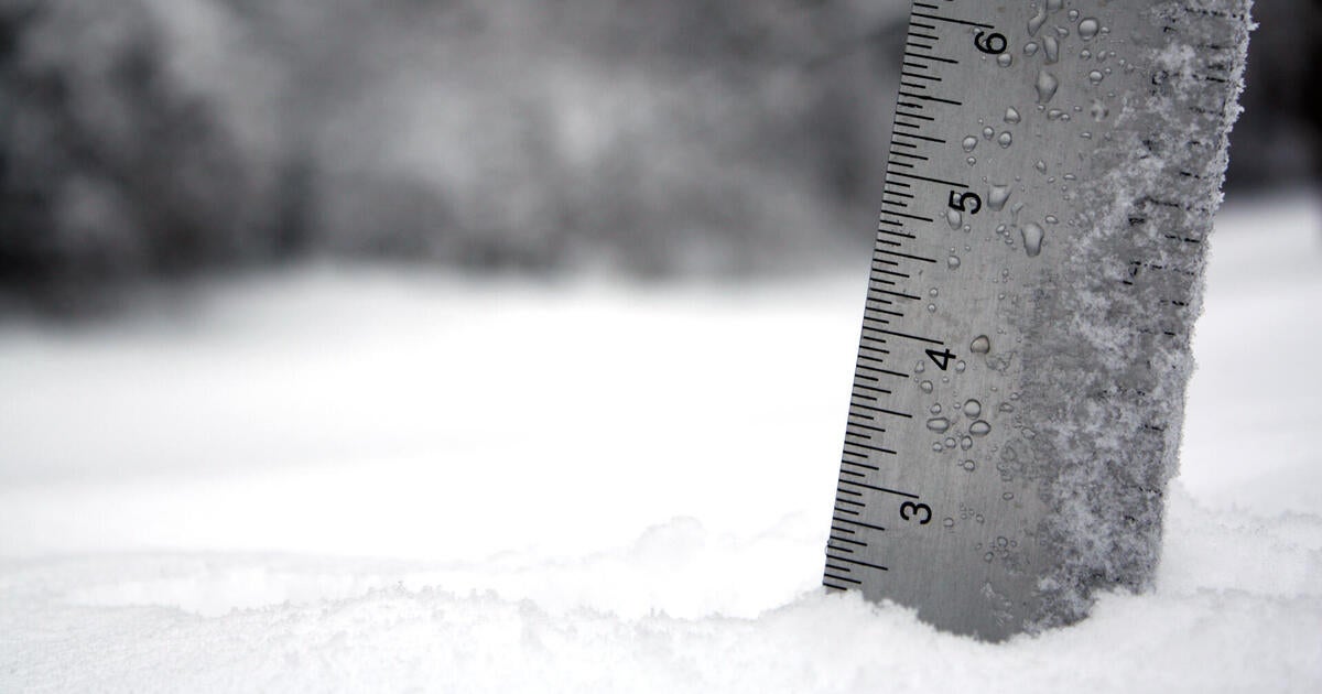
A shortwave will be travelling around the base of the trough...depending on what model you look at, the shortwave is fairly potent...potent enough to spin up a final low pressure center to our south on the stalled frontal boundary. Even though this will be a rapidly intensifying storm it won't have a huge impact on us due to its speed and size. Regardless, it will still be capable of some minor accumulating snow at a tough time...the early morning commute on Thursday. There is still some conflicting info on how close this storm will get to Southern New England but at this time I feel that it will come close enough to produce a little snow...maybe 1-3". Not only is the track a bit in question right now but so is the depth of the cold air coming in. Yes it will be noticeably colder but will it be cold enough? At this time, it looks like cold rain would be a player south of Boston and especially near the coast. It is fairly early and this event has just recently shown its face so we should have a much better handle on this tomorrow night. With that said, our first accumulating snow since the October Nor'easter is likely early Thursday morning.

