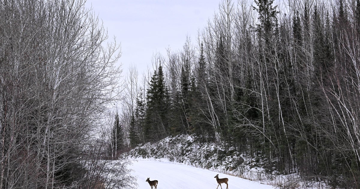
'Candy-Coating' of Snow Friday Night...Bigger Storm Sunday
It's setting up to be the coldest day so far this season as we round out the final days of autumn (astronomically-speaking). Even with lots of sun, highs will only reach the lower to upper 20s (coolest in central Mass. and higher elevations).
An Alberta Clipper will keep the bulk of its moisture and energy to our north and west, but a few flurries and snow showers are expected to fall Friday evening thru early Saturday morning. It's likely to fall as a rain/snow mix closer to the shoreline. A light coating is possible in interior locations and higher elevations.
A Panhandle Hook will be the bigger storm to watch. The track has remained somewhat consistent from run-to-run, but the GFSx has the 540 line slightly closer to our backyards. The Euro shows more warm air advection with this system. As of right now, I still expect the onset of precipitation to include a wintry mix (esp. interior locations). Otherwise, I am going to remain consistent and stick with mainly a rain event. As the moisture exits to our East early on Monday, I wouldn't be surprised to see a rain/snow to snow changeover (esp. interior). This is going to be a focal point as we get closer to the event late this weekend. We will be fine-tuning and tweaking the precipitation type and temperatures as it nears. Behind this large storm, temperatures wil plummet and winds will pick up strength.