Calm, But Much Colder
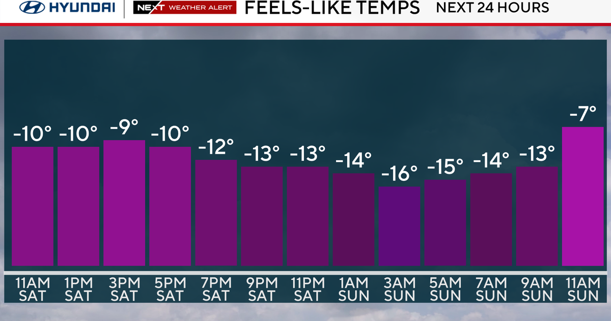
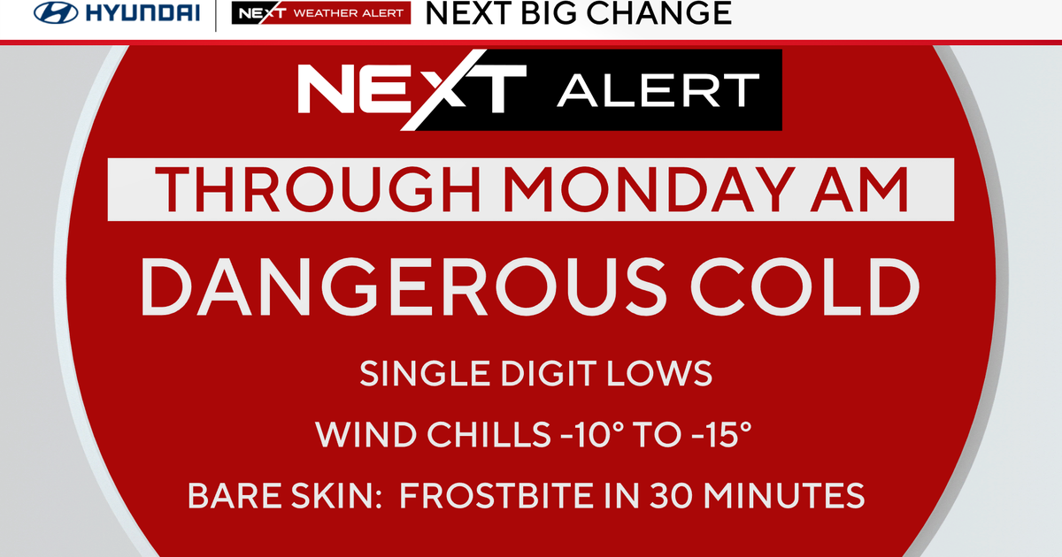
Our first Arctic chunk of air settled into New England late in the day Tuesday. A reinforcing shot of Arctic air is heading our way tonight thru Thursday. This Arctic front is moisture-starved so we are not expecting anything more than cloudy intervals with its passage. Highs will not make it out of the 20s until Friday.
A shift of winds on Friday shows hints of warm air advection. Although we aren't talking about a serious warm-up, this slight warming trend will push high temperatures closer to status quo. Temperatures will hover near 30F on Friday while climbing into the upper 30s Sunday and Monday (Valentine's Day).
In terms of the weather pattern, we are not watching any major storms within the foreseeable future. This weekend's jetstream flow will allow for quick-moving Alberta Clippers. Three Clippers will pass-by within a 4-day period (Saturday thru Tuesday). These appear to induce nuisance flurries/snow showers. The only one that has the potential to produce a couple of inches of snow will be affecting us Sunday. Otherwise, this calm pattern will continue thru Valentine's Day weekend.
Stay Warm!
Melissa :)


