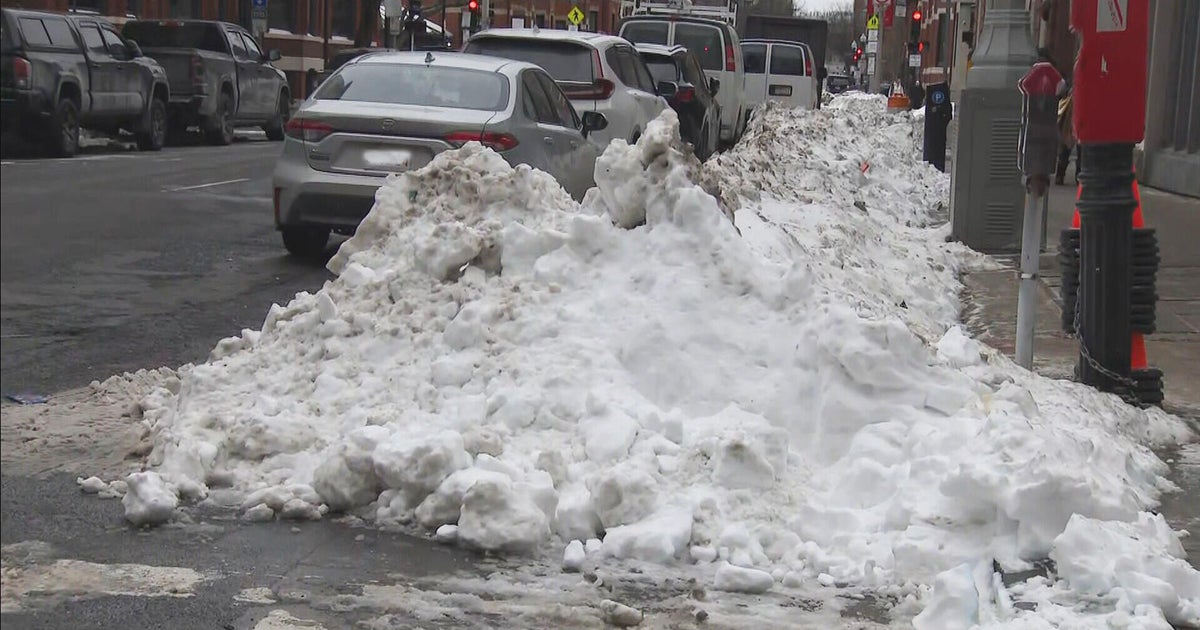
Bye-Bye to the Warmth...
We just completed the 7th day since Thanksgiving with a high of 60 degrees or better...a truely incredible stretch of abnormal warmth. But we knew it wouldn't last forever and we are overdue for some cold.
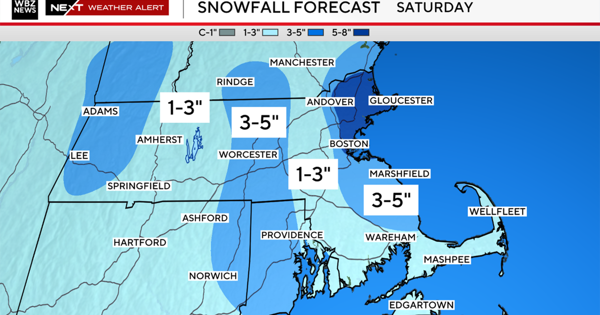
By tomorrow morning, the wind will have swung around to a northerly direction and we will be in cool down mode all day with essentially no rise in temperature during the daylight hours tomorrow. The boundary between the warm and cold will be sitting just offshore and this will be a breeding ground for storms and a pipeline of moisture. We will see several waves of rain over the next 36 hours and by Thursday midday we are looking at 2+ inches of rain in spots...very wet. The heaviest of the rain will fall tomorrow night when an intensifying area of low pressure rides up the coast guided by a potent shortwave. The upper level support will produce copious amounts of rain and snow for New England. But the accumulating snow will be limited to the interior as the storm will move too quickly...before the deep cold gets to the coast. This means that the higher elevations in New England will pick up the most...The Berks, Southern VT and Monadnocks will likely see 3-6"...1-3 for Worcester County...coatings to an inch around 495 and some coatings on the grass in the Boston Metro area. The snow will shut down first thing Thursday morning and an extended dry but cold stretch will commence.
