Brrrrrrrrrrr...
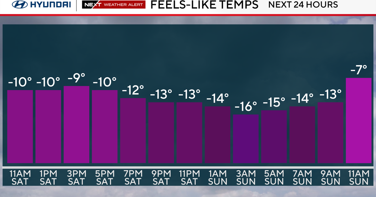
We are right in the middle of the deep freeze but the worst is just about behind us and temps will begin a slow moderation through the rest of the week with an extended January thaw on the way.
The wind will gradually diminish over the next 24 hours and warm air will start surging in aloft...while the temp rise will be subtle, the lack of wind and bright sun will help quite a bit tomorrow. On Friday, in response to the continued warming, more clouds and even a few flurries will pass through.
Over the weekend we can all come out of hibernation as an extended thaw will begin. High pressure will slide offshore and return flow send warmth up the Eastern Seaboard. The temperatures aloft will impressive with 850mb readings reaching 10 degrees celsius...numbers like that in the Summer could support 80 degrees at the surface!

But this is Winter so around 50 should do it but it's going to feel amazing after this cold snap! Our next storm system will swing through Saturday night and with the warmth in place we are looking at rain. In fact, it looks warm and wet for the Pats game Saturday night!
Here is an interesting picture...this is the current snow depth across New England and it's amazing how much snow melted away following this past Monday's 60 degrees...blizzard, what blizzard! Yes there are still a few inches in Northern Massachusetts and large snow banks too but the warmth over the upcoming weekend will put a healthy dent in those if not erase them completely.


