Brief Cool Down Before Milder Times
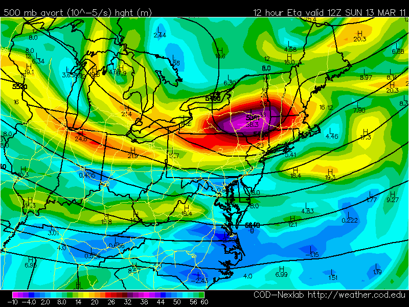
A weak low crossed the region overnight with light showers or sprinkles. Now we have a shortwave which is moving through. It is a cool pool of air aloft which will create instability by allowing the warmer air from the surface to rise into the cool and form considerable cloudiness.
Behind the departing low, some early sunshine this morning, but as the ground warms clouds and the wave passes through expect more clouds to rotate through, as well as the slight risk for a few passing light showers or sprinkles. Behind the short wave, skies should be breaking this afternoon for some increasing sunshine with a breezy west wind. Highs will be in the 40's in the clouds, Lwr 50's in the sunshine towards the coastal plain. Most of the sun today will be found in the south...yet most should be clearing as we head towards evening.
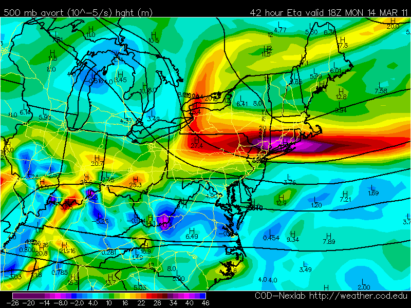
A cold front is in place across the Canadian Border. This front will push off the tonight. Winds will shift back to the NNE by Monday. Any early morning sun will fade behind increasing midday clouds which will stick around for the rest of the day as another shortwave moves through southern New England.
Onshore winds with clouds will make it feel quite raw at the coast with temps steady in the mid-upper 30's, with slightly warmer temps inland away from the chilly NE wind. High pressure will be building in Monday night with the high cresting over us Tuesday morning. The high will begin pulling away Tuesday and start to wrap in a moderating S wind which will bring temps back into the 40's.
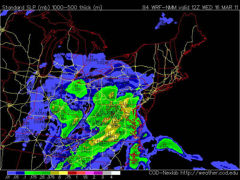
Our next rain maker will come from the midwest. It will have a bit of Gulf moisture to work with. It will take and inside track up the Hudson Valley and deepen over Northern New England before it quickly pulls away. It will be a progressive rain which will only produce only about a quarter to 3/4" of rain. Just enough to keep the rivers running high but prevent any bigger flooding issues. The rain should quickly be pushing in Wednesday morning and continue through the afternoon.
Warming high pressure from the South will wrap in warmer air from the SW behind this departing low making for a nice spring warm up to end the week as temps will close in on 60 by Thursday & Friday. The timing of a front on Friday is still in question...but once that moves through, Canadian High high pressure follows in for next weekend which will bring us back into the seasonal 40's with increasing sunshine and gusty NW winds.
