Bottoming Out...
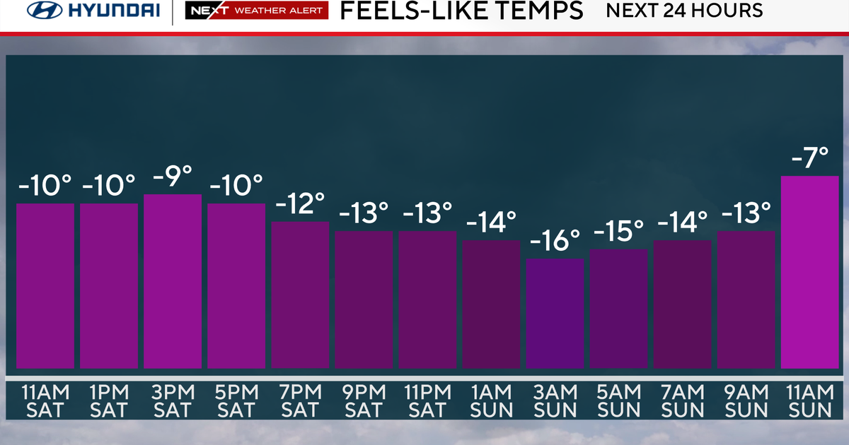
It would have been a gorgeous Winter day if it weren't for that gusty bone-chilling wind that exceeded 50mph late last night in a few towns. it wasn't as strong today but still produced windchill values in the single digits and teens for the majority of the day. The wind will settle down tonight and temps will nosedive...distant NW suburbs will slip below zero while most fall back into the single digits...the heat island effect will keep the city in the teens. The warmth will arrive late tonight and tomorrow first moving in thousands of feet up producing cirrus clouds which will lead to filtered sunshine tomorrow. By the end of the day enough mixing and warm air advection will provide a nice rebound from those bitter morning lows...very close to 40.
Thursday and Friday will be the height of the thaw...there will be some fronts in the area but right now I don't see the threat of onshore winds...surface winds should stay SW all day Thursday and W on Friday...the limiting factor will likely be sunshine and more specifically how much we get. It looks like the sun will fade on Thursday as a secondary-like warmfront approaches so we are looking at highs of 45-50. The front should sneak through early Friday with a possible brief shower then we truly will be in the warm sector...highs in the mid 50s! A coldfront will slide through Friday night and cool us off for the weekend.
Models are advertising our next storm chance to be early next week. A mixing solution with the GFS and a more suppressed colder solution with the EURO...still about a week away...and with NAO forecasts all over the place early next week we'll just have wait for a little clarity.


