Boston to start September with 'amazing weather' after an August for the record books
By Terry Eliasen, Meteorologist, WBZ-TV Exec. Weather Producer
BOSTON - Hard to believe it, but August is coming to a close. There were lots of noteworthy weather stats from this past month and this summer.
The highlights:
This August will go into the books as one of the warmest on record in Boston.
Boston also tied the record for most 90 degree days this August, with 11.
Obviously August was quite dry as well, our 6th straight month with below average precipitation.
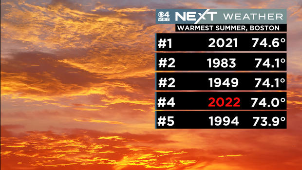
When you take a wider look at the summer as a whole (June-July-August), the heat and lack of rain are even more dramatic.
This summer will go into the books as a Top 5 warmest on record and Top 5 driest.
And, compare this with last summer and you couldn't have two more different summers in back to back years!
So what's in store for September? Well, just based on averages, the temperatures will start to ease and the days will certainly start getting noticeably shorter.
There currently is no sign of any sort of major pattern change, so we can probably expect more of the same. . . overall warmer and drier than average. The big wildcard in September is the Tropics. Obviously if we get hit or impacted by some sort of tropical system, our drought status could change in a hurry.
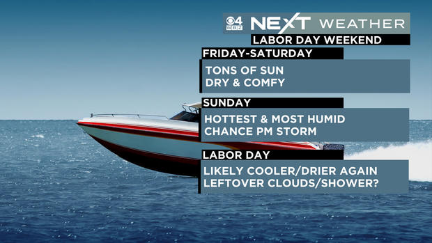
One thing is for sure, September will start off with some amazing weather! Thursday, Friday and Saturday look like near perfection. Tons of sunshine and very low humidity. . . ultra comfy days, great sleeping nights! Our next chance of some rain/storms comes Sunday PM, although we certainly don't expect a washout. Monday is still a bit up in the air, dependent upon whether a front clears the area or gets hung up.
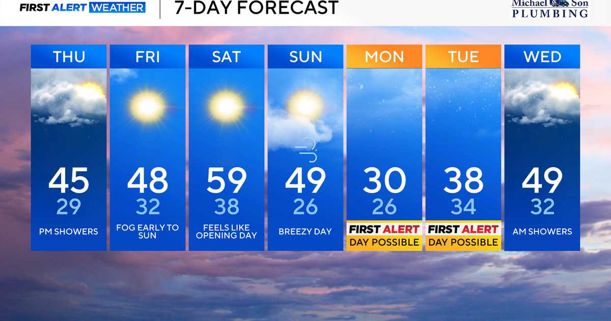
Lastly, our school forecast for Thursday and through the rest of the week:
