Snow and ice covered roads making morning commute treacherous
BOSTON - There are always two thoughts about the season first snow. Some call it magical, while others use words that aren't so nice. Either way we're all waking up to some headaches Monday morning which is why the WBZ-TV Weather Team has continued the NEXT Weather Alert.
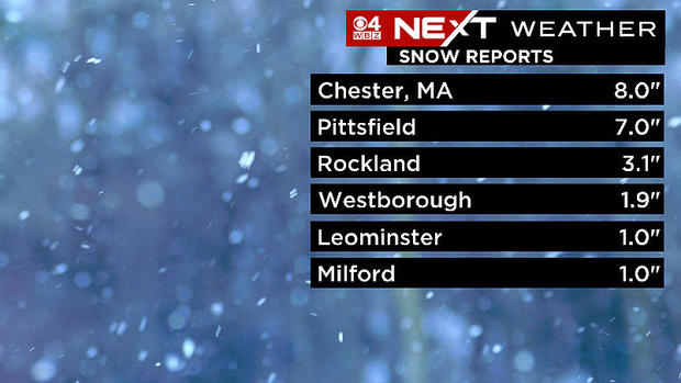
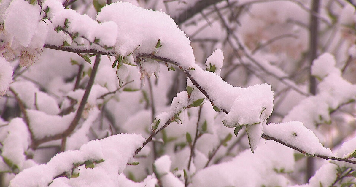
A small snapshot of snow totals show the highest amounts ended up in western Massachusetts. Still, the eastern side of the state measured 1-to-3 inches in many spots. While not a massive amount, it was certainly enough to make travel troubles on Sunday night. Video out of Worcester showed cars slide off the roads due to the untreated surfaces. This could certainly be the case on Monday morning especially on secondary roads.
The Monday morning commute will be our point of emphasis. There may be some improvement through the day however temperatures will remain near the freezing mark through the afternoon keeping the slick spots around. So the bottom line for any travel - time and patience. Both will lead to an easier drive.
Some cities and towns have delayed the start of school as a precaution.
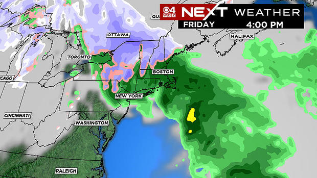
Coastal areas will likely get clipped by a few showers on Wednesday evening but the next big event will arrive Friday. A potent system will likely envelope all of New England with rain and snow. Massachusetts seems to land on the warmer side of this one keeping us in the rain chances. But if you're looking to hit the slopes, ski country should get a good dose of natural snow!
Stay up to date with the NEXT Weather team all week as we track Friday's impacts.
