Next Weather Alert: Several inches of snow create slick driving conditions Monday morning
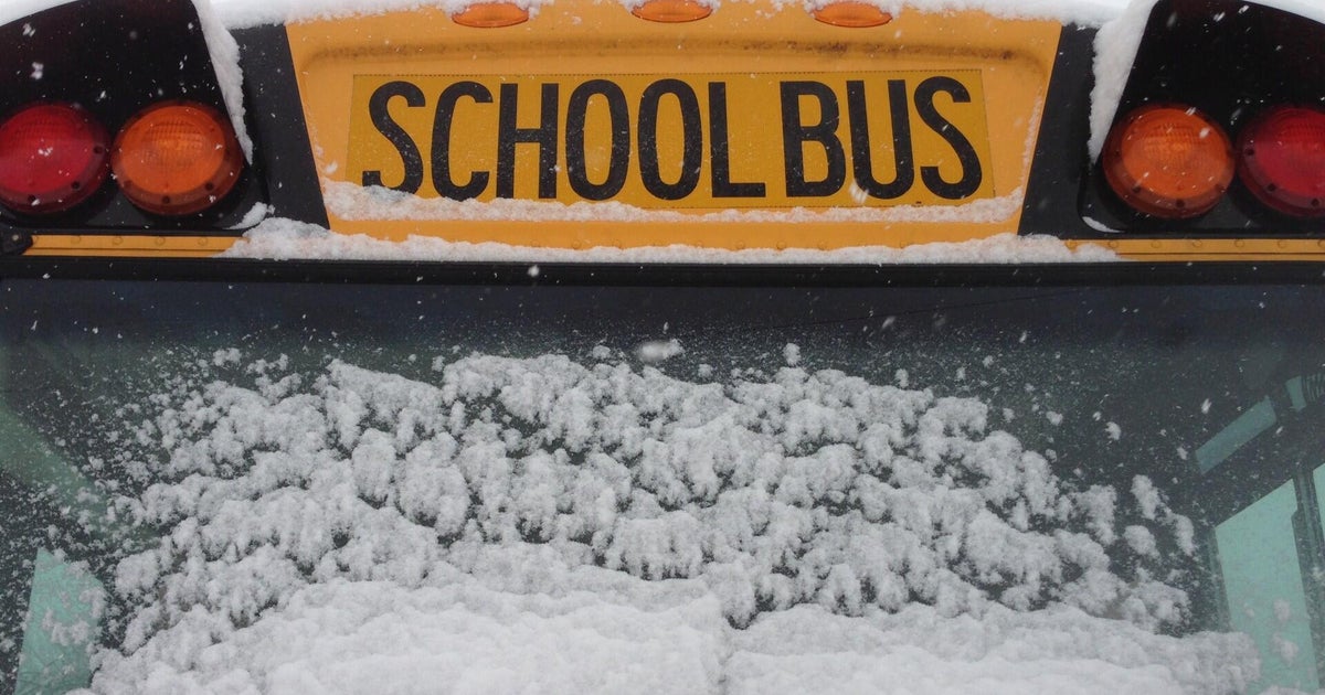
BOSTON – What's this?! Winter in New England?! You wouldn't believe it by the early weeks of the typically snowy season but Massachusetts actually tapped into the flakes on Monday morning.
This first real dose of snow is part of a much larger system that is hundreds of miles away.
Being nearly 400 miles north of the energy, you can clearly understand the strength of this ocean storm. Yet, that distance keeps southern New England on the outskirts leading to modest snow totals by regional standards.
These will not be the final tallies. The snow will persist out of the northeast for coastal areas (especially the South Shore) through the late afternoon.
For those closer to the water, an additional inch is possible on top of what we have already recorded on Sunday night.
Interior locations won't have all that much fanfare after sunset so little to no further accumulation is expected at that point.
Don't expect this wintery scene to last long. The "above average" trend returns quickly and we'll thaw out as early as Tuesday afternoon.
Temperatures will go up from there reaching 50° for some on Wednesday.
The mild conditions stick around through the end of the week leading to a plain rain event. Expect soggy conditions on Thursday and Friday.


