Blustery Dry Chill in Stormy Blocking Pattern
Certainly more clouds out there today compared to yesterday...but still an overcast thin enough at times to provide some partial sun. A lighter NW wind with considerable cloudiness will keep temps mostly in the 30's today. Some spots will average close to 10 degrees below normal.
One low has weakened and lifted in to Canada, but we quickly need to turn our attention to more energy rounding the base of a trough firmly entrenched on the east coast which will become a deepening storm as it approaches Nova Scotia and Northern Maine tomorrow.
This will be a powerful storm which will bring more than a foot of blowing and drifting snow to parts of Maine...mainly in towns from Millinocket, Greenville, Caribou to the Allagash.... The combination of snow, wind gusts in excess of 30 mph and temperatures falling into the 20s could make for near-blizzard and life-threatening conditions for those venturing outdoors at the height of the storm Monday.
Far northern portions of Vermont and New Hampshire, particularly ski country could see several inches of snow as well before this storm pulls out Tuesday. Resorts such as Bretton Woods, Cannon Mountain, Sugarloaf, Sunday River and Wildcat should benefit from the natural snow once the wind settles down.
High latitude blocking with high pressure parked in Greenland is locking this pattern in for the near future and will play a role in the weather picture down the road for our chances of accumulating snowfall in southern New England. Our models do not handle these blocking patterns well, so extended forecasts this far out have to be taken with a grain of salt. There is not much certainty with the details and timing of what is coming down the pike. But we have high confidence that this high latitude blocking and buckling of the jetstream will promote more storm development and introduce a much colder airmass into the US...The weather is certainly going to become more interesting and challenging in the coming days....and also a higher probability for snowfall depending on the eventual track.
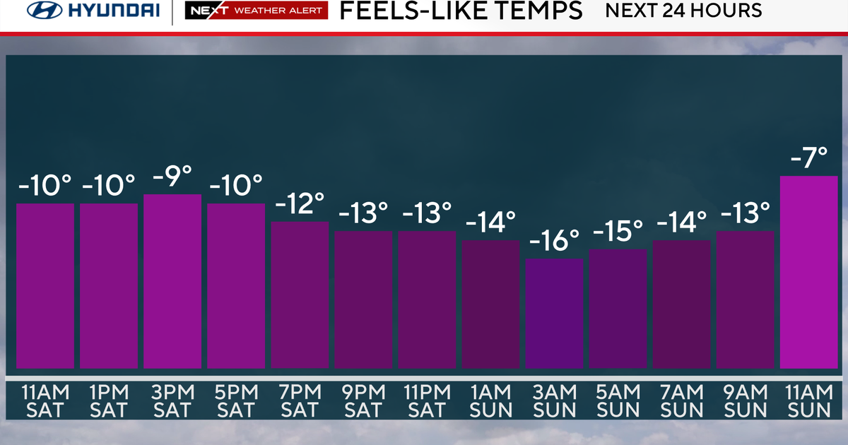
For now...all is quiet with more clouds than sun. As the storm deepens in northern Maine, gusty NW winds will begin to develop Monday with peak gusts to 30-35 mph possible. With snow across the Far North Monday, cool biting west winds will be in place through midweek directing the coldest air of the season into New England by midweek with highs struggling to reach the freezing mark by Wednesday & Thursday with diminishing wind at that point.
Tracking an Alberta Clipper for the end of the week. The intensity and track to be determined. This will be a chance of snow late Friday into early Saturday morning. Another Clipper will follow behind by Monday the 13th. This will have better upper level support and more moisture to work with. This will be a low that once it hits the coast will become stronger. The question this far out is snow or rain? An inside track will bring warmth and rain...a southern track will mean snow and a possible nor'easter! Impossible to know this far out...but you knew that already. Plenty to watch coming down the Pike!
Bundle and Buckle up!


