Bitter Cold 'Out'...Warming Trend 'In'
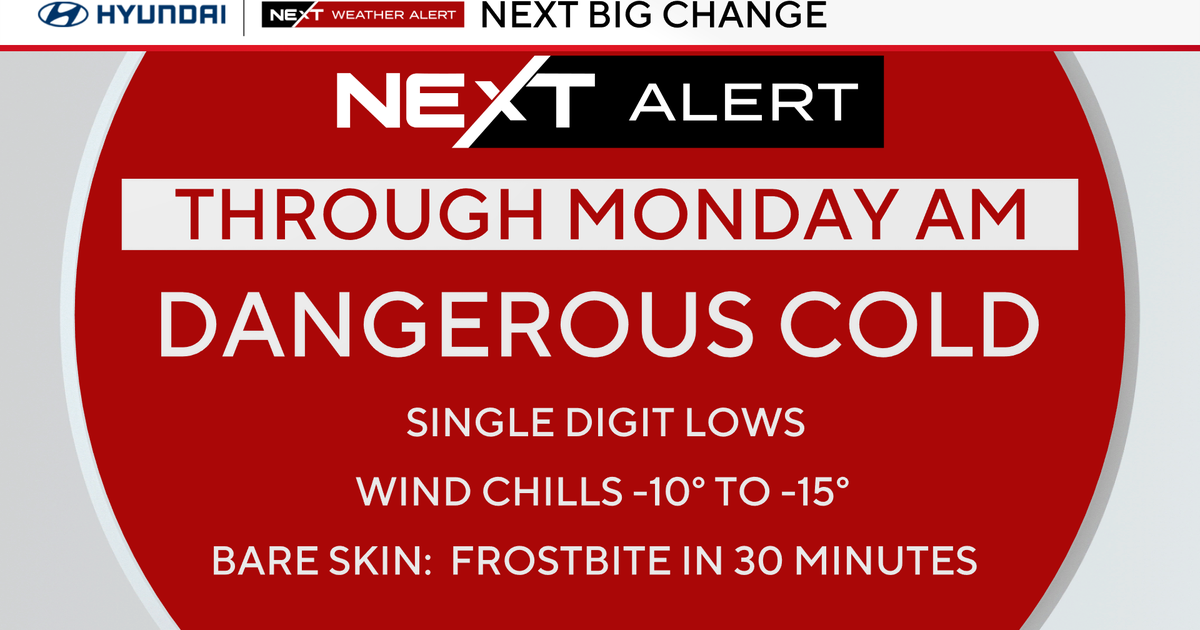
The 2-day cold spell is now a memory. We are making new memories now with a slow warming trend that begins today. Sky cover will start off mostly cloudy, but we will have increasing sunshine during the afternoon. Winds will be originating from the WSW at a 5-15mph clip. High temperatures will be more seasonable as they climb into the middle and upper 30s.
Skies will be mostly clear for a short period tonight as a narrow slice of high pressure 'protects' the region. Winds will be calm, and lows will dip into the lower and middle 20s.
Friday's temperatures will make a run for the lower and middle 40s. Initially, we will have a chance of a few flurries in the morning, especially north and west of Boston, as a warm front tracks northward. Then, clouds will thin out by Friday evening.
This weekend starts off very mild. Saturday will be partly cloudy to partly sunny as a 'dry' cold front passes by in the evening/Saturday night. Highs will be in the 45-50F degree range. Then, once the cold front sweeps through, temperatures will return to a more "normal" numeral, upper 30s, during the day on Sunday.
*Sneak-Peek-->Looking into the future of our forecast models, mild weather sticks around through next week with a midweek storm producing mainly rain showers. However, the long-range models do show more numerous, short bursts of cold air after later in January which will be more conducive for snow as opposed to rain.
Melissa :)


