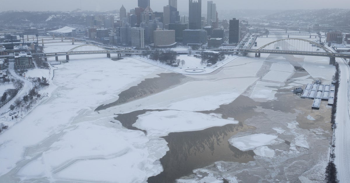
Bitter...
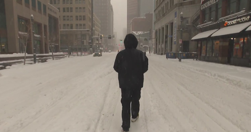
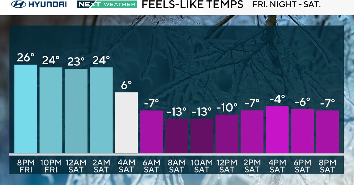
Some serious radiational cooling is going on right now thanks to clear sky, light wind and the fresh snowpack. Lows by morning in the very sheltered locals will be subzero! Speaking of snowpack...I was looking at a map of New England's snowpack on the NERFC website...two things stuck me...the widespread impressive snowcover over Southern New England...very solid...and the lack of snow in far Northern Maine up in potato country...there is hardly anything up there!
A weak clipper will pass north of us Saturday night and deposit a dusting across the area in the weak warm advection flow...no big deal, but another shot of serious cold will follow for MLK Day.
The next bigger system arrives on Tuesday and I see the cold hanging on in the beginning so that a burst of snow and mixed precip will occur at the start. A warm up is still looking likely so a change to rain should still happen. This system will still likely cause problems in Southern New England and determining how long the cold will stay locked in will be critical.
Have a good weekend all...go PATS!
