Big Rainmaker...
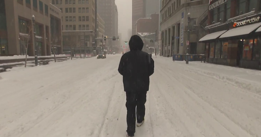
We are climbing out of the icebox this morning after surviving the intense cold blast from the last 36 hours. The cold won't be as harsh today with highs clearing the freezing mark something that wasn't achieved yesterday. Temps will continue to moderate tonight and tomorrow as the atmosphere buckles to our west and southerly flow commences. The big dip in the jetstream gives energy to a developing low pressure center to our south which is currently tapping Gulf of Mexico moisture before it makes the trek up the Appalachians. The storm will be an "Inside Runner" meaning it will travel to our west shoving all the cold air back to the Great Lakes and Canadian Border. The rain will be impressive as most are looking at 1-3" and temporary street flooding will be likely but no river flooding is expected. If traveling tomorrow you will be in good shape here in New England...the rain won't begin until late evening...turns heavy overnight and Wednesday morning and then tapers down Wednesday afternoon.
Behind the storm, another cold blast moves in for Thanksgiving Day...winds will howl and temps will only make it to the middle 30s. The cold will last for several days too...right through the weekend...the good news is the patter will stay generally quiet with just a chance of light snow on Sunday.


