Big Changes...
First off, a heart-felt thank you to all past, present and future veterans...I hope you enjoy this day.
As far as the weather goes there are some huge changes...and ups and downs on the way this week mostly pertaining to temperatures fluctuations but an Arctic front may make for an interesting Tuesday morning commute. This Arctic front is on the move and is marching through the Great Lakes, out ahead of it temps will shoot into the lower 50s as the sun fades a bit in the afternoon. Clouds will thicken up tonight as the front gets closer and a band of precip will slide in well after midnight. Surface temps will be mild enough for the precip to start as rain but closer to dawn temps are expected to get colder and the precip may end as a brief period of snow during the morning commute. Jet dynamics become very favorable for a burst of precip to finish up...the intensity will also aid in the rain flipping to snow.
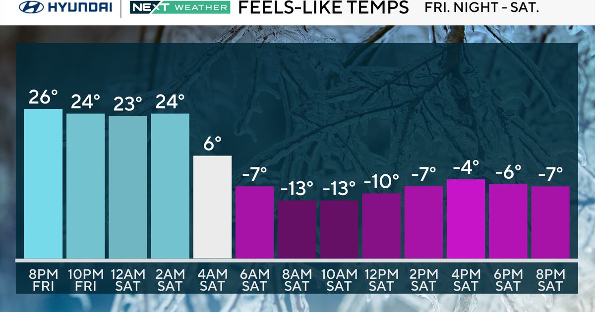
With relatively mild ground temps any snow that falls will have an extremely difficult time sticking but there may be some thin coatings on the back deck or on the tops of cars. Also, because this will be unfolding during the morning commute, wet or even slightly slushy roads can be slippery so it's something to watch for. The rain and snow showers will come to an end quickly from north to south by mid-morning and although the sun will be popping out temps won't respond much. In fact, they'll stay pretty level around 40 all day long and with a NW breeze wind chills will be in the upper 20s and lower 30s.
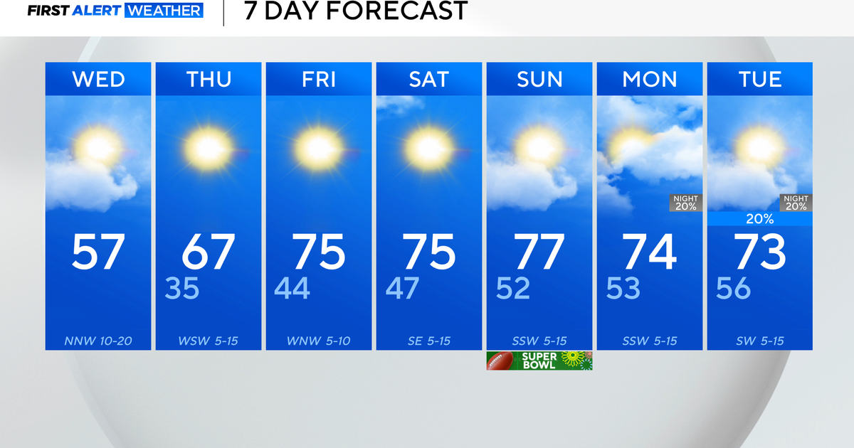
We are looking at an abnormally cold Wednesday with ineffective sunshine and temps in the upper 30s. But the shivers will be gone by Thursday afternoon as a mild pattern takes over and ushers in 50s and potentially lower 60s to finish up the work week.


