Beware The Ides Of March
Winter officially has us on lockdown. It's is going nowhere...at least for the next two weeks. The Climate Prediction Center's 8-14 day forecast shows a wide portion of the US with below normal temps which could last through much of the rest of the month of March. Mercifully, we are easing out of the winter as the days get longer. We can quickly warm up with the right upper level pattern. The Climate Prediction Center is more optimistic for warmth in the coming months ahead. Here is their 3-month temperature forecast.
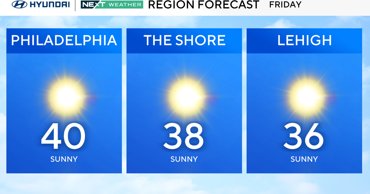
This St. Patrick's day weekend will be cold and dry with a steady chilly NW flow from Canada. A polar front is pushing through tonight with clouds and a few scattered snow showers and flurries. Most has been evaporating in the dry air. Skies will be clearing out after midnight as lows will drop back into the 20's. The front will be off the coast Saturday, with light NW winds in place. Sunshine will greet the day Saturday, but clouds will be on the increase especially from the midday through the afternoon. Highs will mostly remain in the 30's to near 40. The clouds will be streaming eastward off from a low which will be tracking south of New England along the cold front off shore. There will be just enough lift in the air that we still may see a passing flurry or snow shower...but it is a mainly dry day.
More cold Saturday night with clear skies and light winds with lows in the Lwr 20's. St Patrick's Day will be sunny and chilly with highs climbing into the Lwr 40's in SNE by the afternoon with high pressure building in from the west. It will be a beautiful day for the Parade, but it will be wise to prepare for the chill as it will be quite chilly. High barometer will remain over us through Monday as the high crests over us. Sunshine will fade Monday to increasing high clouds with highs in the 30's as un upper level ridge briefly develops along the east coast.
So after this stretch of seasonally cool fair weather, we will have to focus on our next developing winter storm. Yes, it is hard to fathom but we have another storm heading our way. This storm will not have the battering waves or flooding concerns as it will be quick moving and tides will not be running astronomically high...but it will come will come with it's share of problems...especially for those travelling in Northern New England Tuesday. It will start with a low tracking into the Great Lakes. There will be energy transferred from this low towards the coast which will aid in the development of another low which will track through the mid-Atlantic states and eventually up into SNE. Where this low will eventually track will be key in determining how much snow SNE receives. A track over SNE will mean warmer air can penetrate with more mixing. A track slightly further south or offshore, and we could be dealing with a colder solution.
High pressure will hold on long enough to keep Monday dry, but after midnight, during the early morning hours on Tuesday snow will begin to fly. It is here where Metrowest and the greater Boston area will have their best chance of a few inches of snow, then we will be watching a snow rain line starting to push north. How far that snow rain line will push still remains a question, and something we will have to watch. This system will come with quite a bit of moisture. And where it will remain cold enough to stay all snow, heavy snow will occur. I think Northern New England is looking at a 6-12" snowfall from this storm Tuesday, with many northern ski areas seeing over a foot of snow. This storm will have more ptype issues in SNE which will be more subject to change in the days ahead. Still, higher elevations in the Berkshires and Northern Worcester Hills could see up to 3-6" or more of snow. Any snow should quickly mix to sleet then to rain at the coast and across eastern & Southeast MA. The peak of the storm will be Tuesday morning through Tuesday afternoon and will be winding down Tuesday night as the storm hugs the coast up into Maine. An upper level low will sit over us into Next weekend which will help to keep it cool with variable clouds and sun. Snow will once agin struggle to accumulate during the daylight hours with this current sun angle. But the farther north, and higher up you are in elevation...the easier it will be for this snow to accumulate.
And believe it or not, but there is a chance we could see another disturbance come near us sometime around the 24th-26th of March! The pattern is locked and loaded with still plenty of cold ready to be released into the US. While the calendar will say spring it certainly will not feel like it for the near future. Bundle up for now and keep that wood stove going. What a long winter!
