Battle of the Changing Seasons
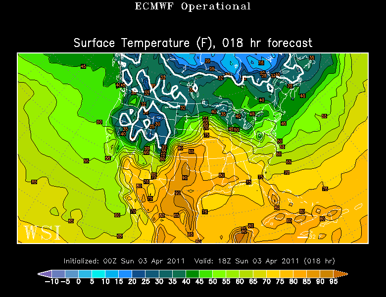
It is suddenly summer in the midwest where record warmth is surging into the Plains today. Temperatures will be in the 80's from Kansas all the way to the Gulf states. No chance of us seeing that warmth today with a breezy NW wind out of Canada. Winds will be shifting to the SW overnight...and this will be the beginning of a brief warm up of small proportions...which will be accompanied with showers. Exciting stuff I know.
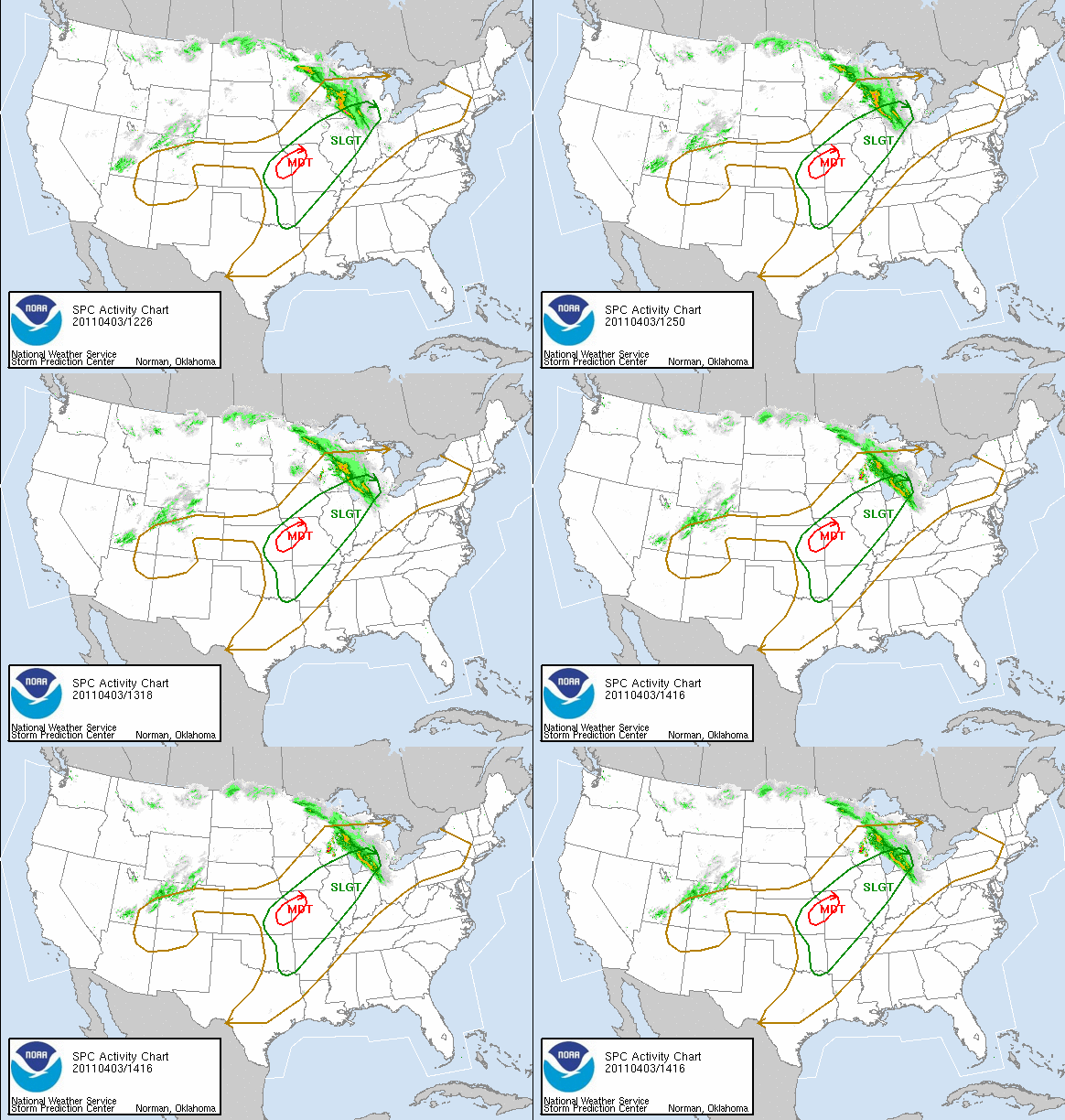
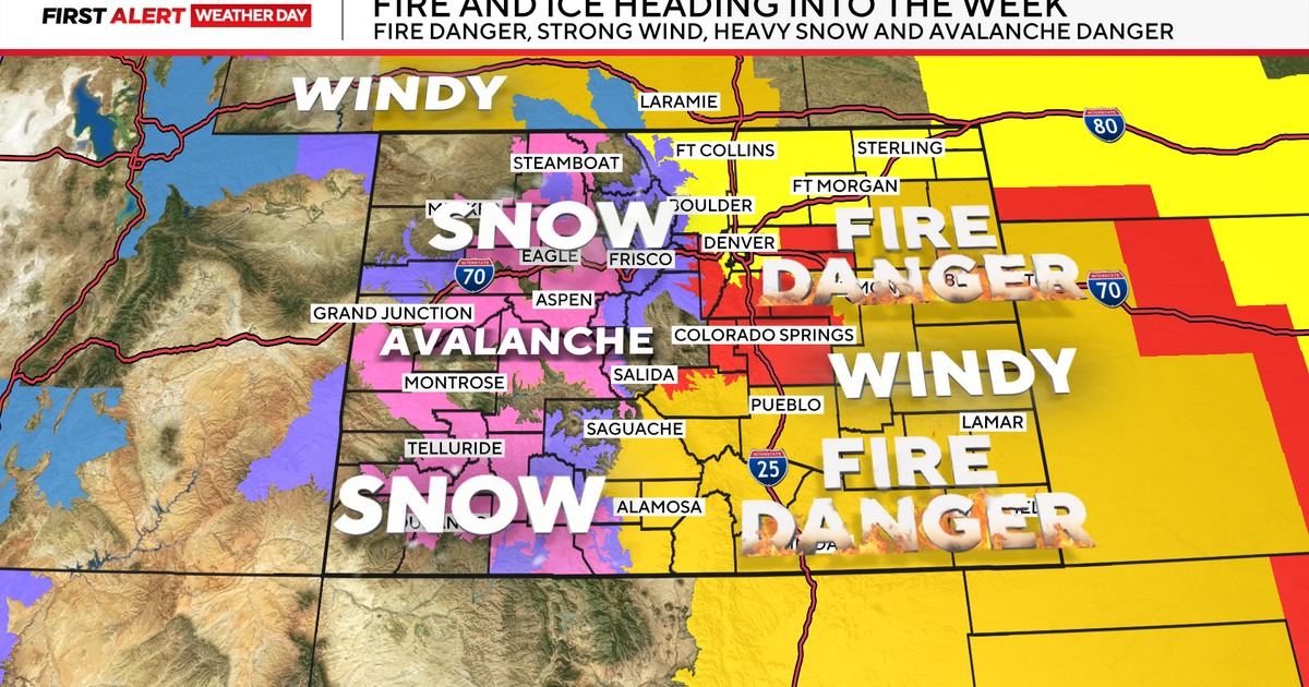
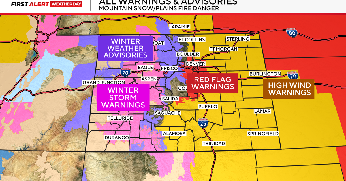
Cold air is pushing down the Rocky Mountains bring 6-12" of snow to area mountains. Cooler dry air will clash with the warmer more humid air coming out of the Gulf to form severe weather today. The map below shows the Severe Storms Prediction center's outlook for the probability of sever weather developing.
We will be tracking that ribbon of rain and snow currently pushing into the Great Lakes. That is the warm front or the leading edge of the warm air mass that is beginning to spread eastward. By dawn tomorrow, the precipitation will be arriving at the coldest point of the day around sunrise.
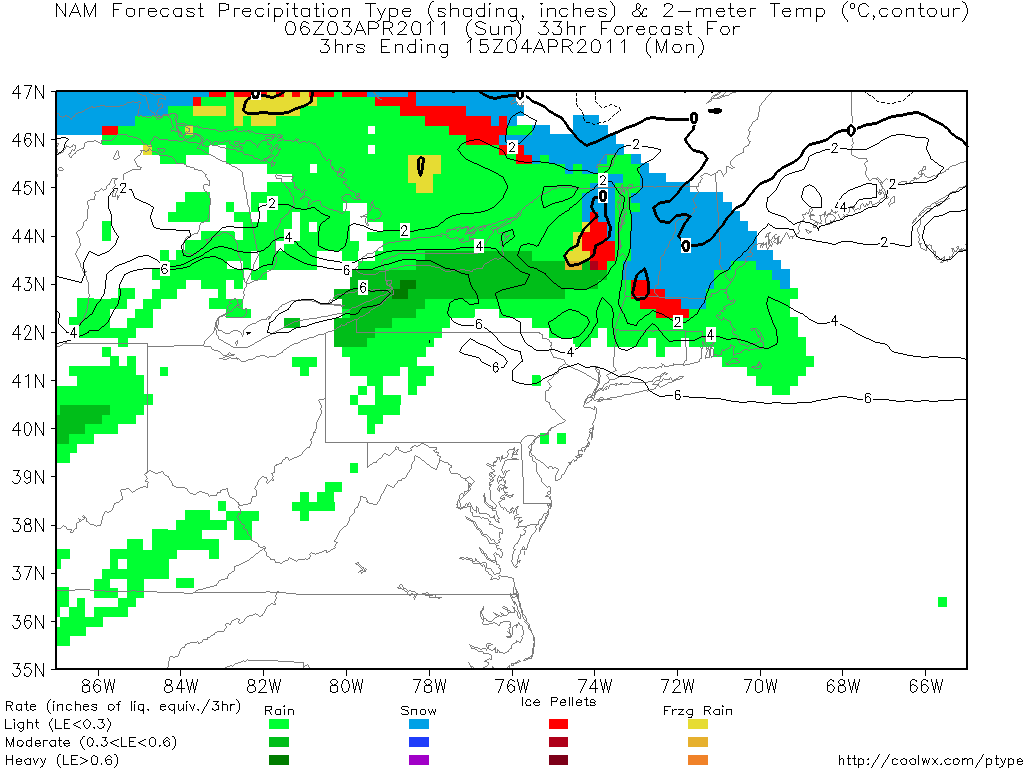
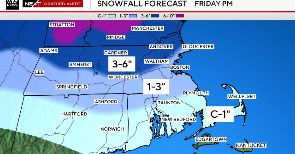
This will allow for a brief burst of wet snow or sleet in the Berkshires and Worcester before quickly changing to rain. The cold air will likely hold on a bit longer in potions of NH and SW ME Monday morning where there is the potential for 1-3" of snow before mixing to rain by midday.
The warm front will be slow to advance north with the cold ocean water helping to keep it cooler at the ground. With SW winds aloft, overrunning precip in the form of showers will likely continue into the early afternoon.
Below is a map of what it will look like around noon Monday. CT and RI will likely get into the warm and dry sector behind the warm front which could move temps to the 50's...any breaks of sun will mean 60's. While Northern New England will be on the cooler wetter side of the front struggle to reach 40 degrees. Showers will taper off from South to north during the afternoon. Still S wind and clouds...scattered showers, sprinkles, drizzle and fog are possible into Monday night as temps remain steady and start to climb overnight.
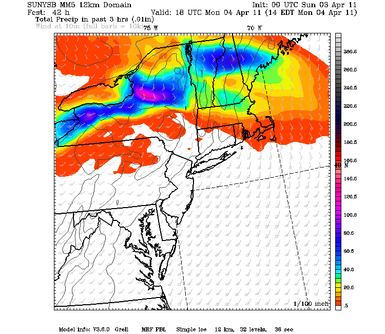
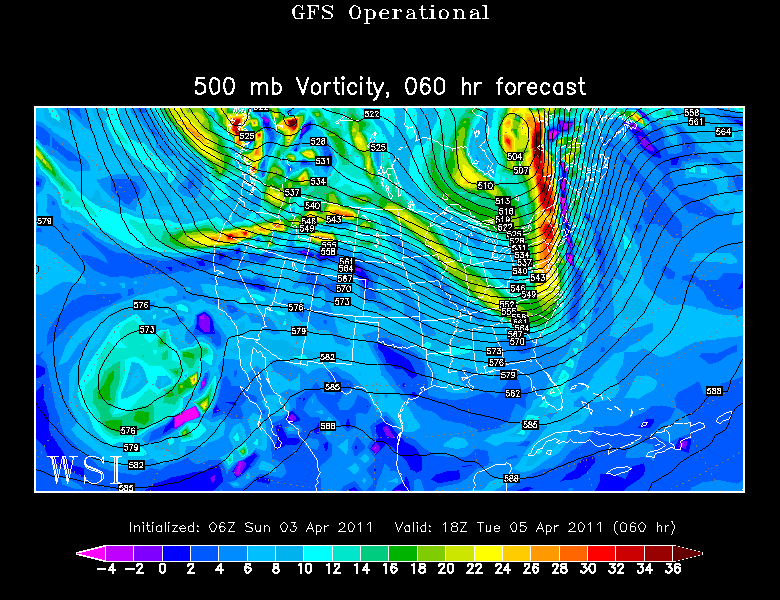
Tuesday will be the day of the cold front. Temperatures are always warmest the day of the frontal passage. Strong WSW aloft will continue to transport warm air into the Northeast... But nothing like what will be occurring from Virginia south where temps will be in the 70's and 80's. Nope. Our warm up on Tuesday will come with showers quickly advancing from west to east during the morning and could last into the afternoon. These raindrops will keep it cooler in the 50's...despite the mild breezy SW winds at the ground.
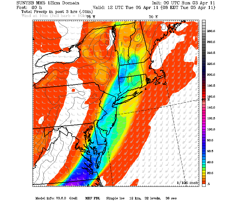
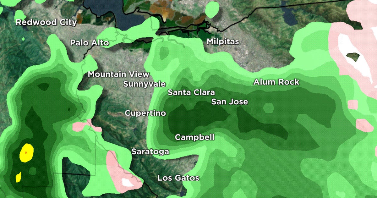
Below is the SUNY MM5 showing the rain moving from west to east as early as 7 AM Tuesday morning. Hard to bust into the 60's looking at that timing. Still any balmy air will be welcome...even it has to come with rain.
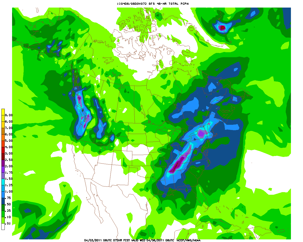
The combination of the passing warm front Monday with the cold front on Tuesday will deposit about .50-2" of rain...with the heaviest likely to fall in central and western new england, with lighter amounts at the coast. Briefly heavy downpours will be possible Tuesday with a warmer more humid airmass.
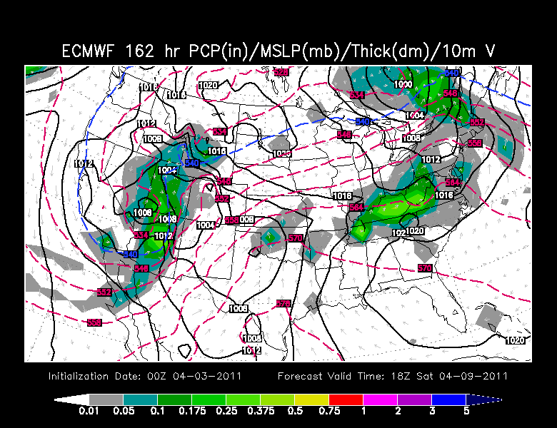
A weak shortwave will move through Wed night-Thurs AM which could come with a few light rain or snow showers...no biggie. The bigger news will be the turning of the wind to the Northeast for Friday opening day which could make it awfully chilly and raw at the coast and keep temps in the 40's.
Just enough ridging in place to stay optimistic about dry conditions...but questions are starting to emerge on how dry we will be. An unsettled look heading into the weekend persists. Some of the showers could spread into New England as early as Friday night.
Another shortwave will be tracking through the Great lakes and north of New England. This appears to bring with it some light overrunning showers for Friday night into Saturday and enough to keep some cool cloudy damp conditions around to start off the weekend. The confidence on how all this plays out is still low right now.
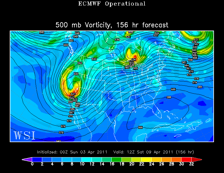
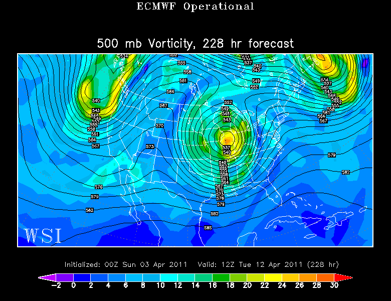
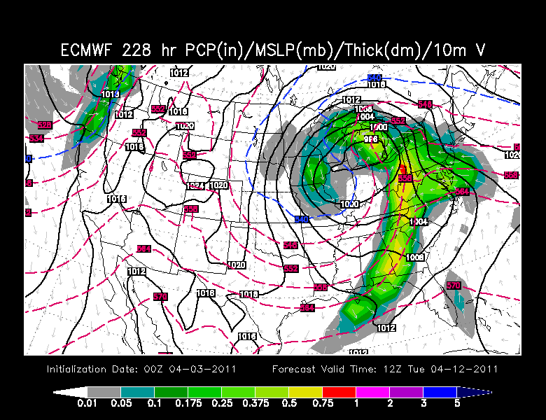
Check out after next weekend....a big Upper low comes spiraling through the midwest, slows, deepens and will impact our weather sometime in the 11-13th time frame. More ridging ahead of the low could allow for another brief warm spell barring any more onshore winds...which can be so typical this time of year.
This low will likely track west of us and bring rain, then much cooler air behind it as it pulls away into the Northeast. This setup has plenty of room to change in the coming days...but I am pretty sure we will have another shot of cool heading our way around this time once any sort of storm passes.
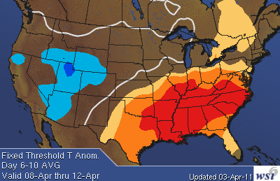
WSI is onto the incredible warmth shifting east and mostly staying away and south of the Northeast. A real nice summer pattern for those down south this weekend. Gorgeous weather for the Masters.
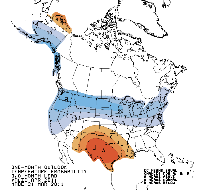
Oddly enough...after forecasting April feature above normal across the east for the month of April. The forecast has changed. Not the first time this has happened. The outlook for April has now shifted towards temperatures running below normal in the northeast for the month of April. hard to argue with that. Despite brief surges of warmth active fronts will be sweeping across the nation creating severe weather. We will likely never get warm or humid enough to see the big storms...but south of us...I think it is safe to say the Thunderstorm season is beginning as Spring warmth becomes more pronounced against stubborn, yet retreating winter cold.
