Bands of Light Snow Add Up Overnight
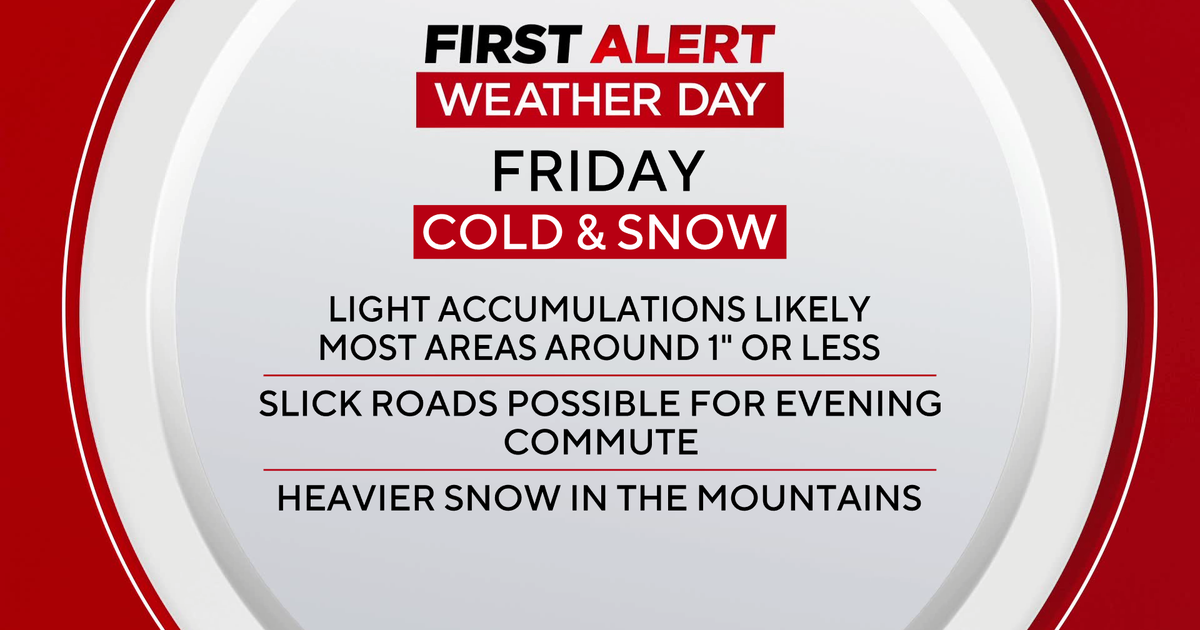
Round 2 of snow moving through this afternoon...but this round will last in varying intensity through the overnight hours. The inital band this afternoon is providing steady snow reducing visibility to 1-2 miles as in pushes from NH into Worcester , Norfolk and Plymouth counties. I do not believe we will be seeing a heavy snow for the evening commute. High temps near 40 have warmed the ground enough that light snow will be melting on the pavement ..but as temps drop...snow covered roads will make driving a bit dicey through the late evening hours...especially during the morning commute tomorrow.
The snow will ease up this evening in intensity...light snow/flurries..Heavier west of Boston...but watch for another band of heavy snow to slide down the coast early tomorrow just before dawn. It will be snowing tomorrow morning at the coast and this could last until 9-10 AM...with additional minor accumulations....but low visibility..and just a few inches can make driving hazardous from the Cape to the South Shore. Expect a slow go.
The forecast is calling for heaviest snow to occur at the coast from the Cape Ann to South Shore to Cape Cod where 3" of snow is possible with pockets up to 4" depending on this band in the early morning hours. Boston gets 2" with surrounding suburbs a general 1-3" snow fall with less outside 495.
We return to a fair weather pattern with slightly cooler air moving in for Christmas...
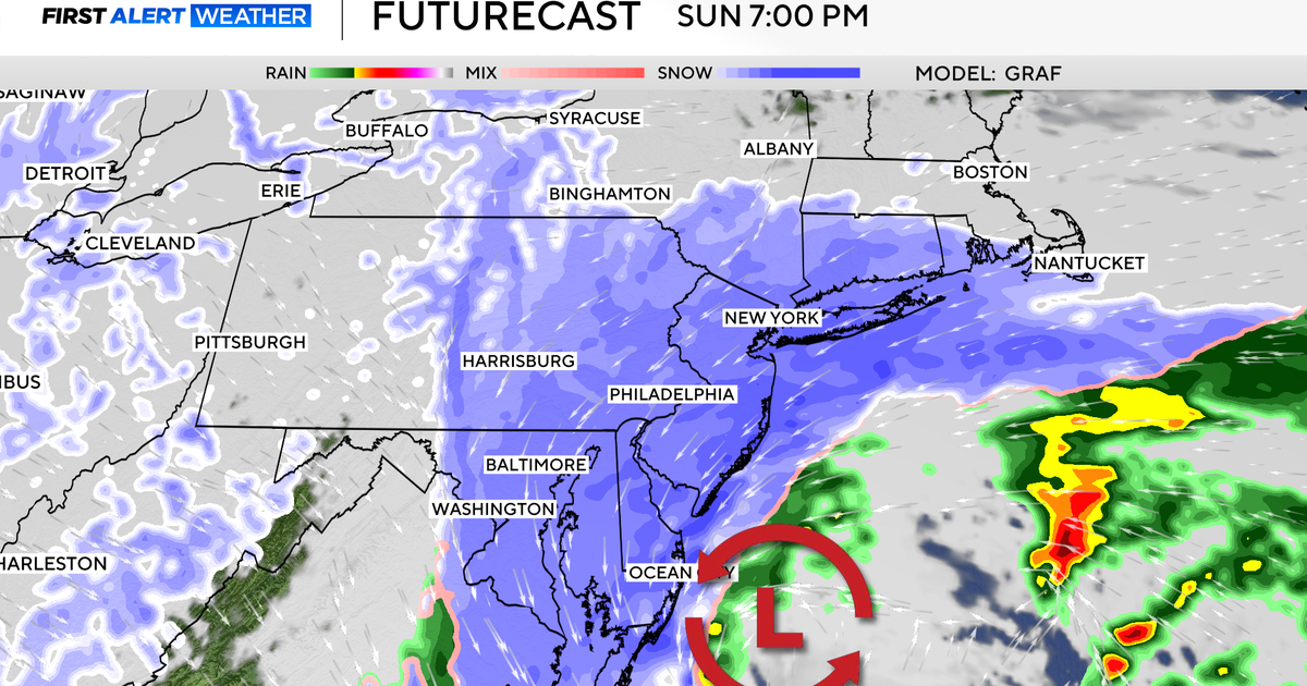
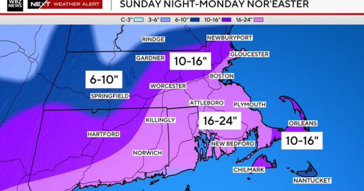
We turn our attention to the developing storm for Sunday Night into Monday. This storm is coming in off the Pacific and slamming California with more flooding rain. A state of emergency exists is a few areas with the San Bernardino mountains seeing over 2 FEET of rain! Incredible. Highest elevations in the Mountains have seen close to 12 FEET of snow . Flash Flooding, Mudslides and Avalanches are of grave concern. This storm will come over the Rockies and then dive south into the Gulf of Mexico, where this will become a moisture loaded storm. The questions remaining of this is the timing of the short waves in the northern stream...and when and where the merge will take place.
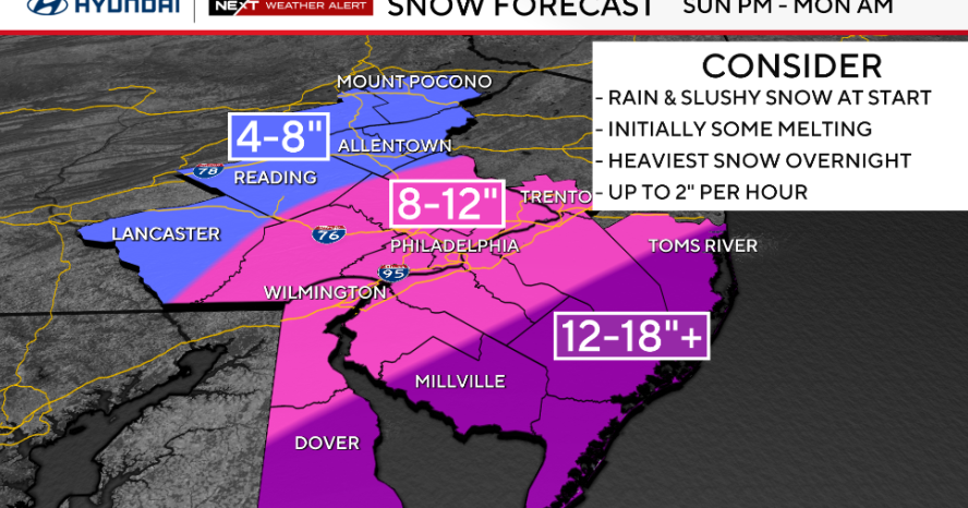
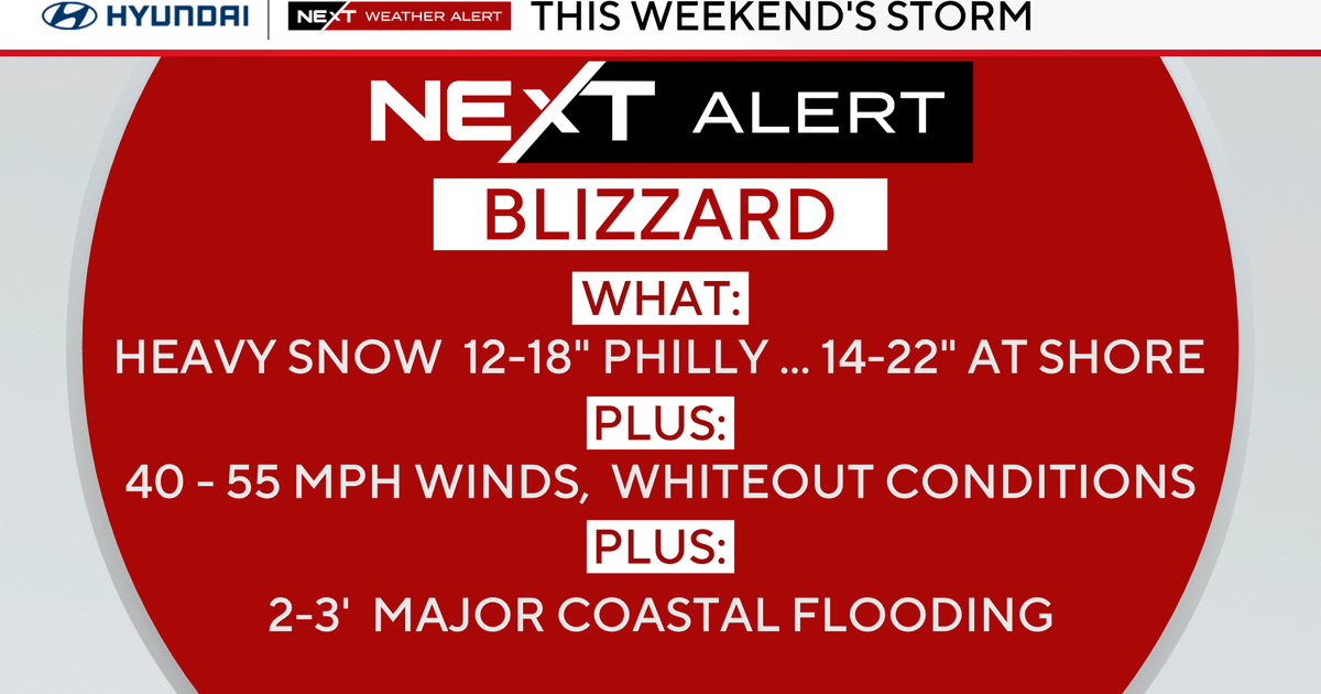
After taking the storm in a southern track away from us, The midday GFS had made it's usual adjustment to track further west again with a 968 mb low south of Nantucket. The Euro and Canadian models have shown runs that would provide a historic snow storm from the Mid-Atlantic to New England. Upper level winds from the SW should be able to shoot this storm out of here quickly which should help to keep storm amounts in check...but the potential for over a foot of snow is more than likely. Midday Euro prints out 2-3" of moisture with this storm...20-30" of snow?? Wow. No way am I going there now...but this storm is getting serious and it is going to bomb out south of New England...but where? More careful attention and analysis will be needed in the coming days as the track continues to adjust.
