Back to Winter...
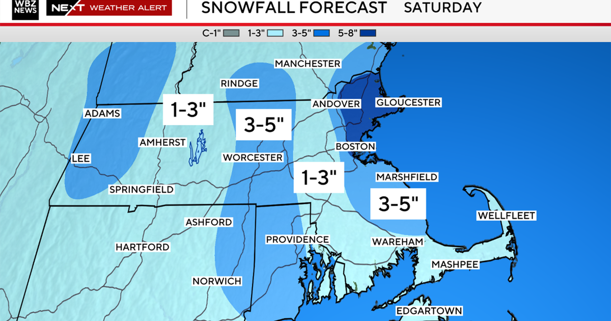
We just saw three days in a row of 50 degrees or higher resulting in the melting of most of our snow but a sharp coldfront came through today and temps took a nosedive. Daytime highs never got out of the 30s and there were even a few flurries floating through from time to time. Another coldfront will approach tomorrow afternoon increasing the clouds and the threat for a sprinkle or flurry by the end of the day. The coldfront will slip through tomorrow night reinforcing the cold for the weekend. The coldfront will slide far enough south of us so that the zone for storm formation will stay mostly south of us through the weekend. There may be a flurry south of the Pike late Saturday but most if not all precip should stay in the Mid-Atlantic.
Next week will be a different story...blooking downstream will once again establish itself and a trough will begin to dig into the East. Energy will dive into the trough spawning low pressure development that will have a tough time traveling to our west due to blocking and cold high pressure located over the Northeast. The end result will be a stubborn cold air and moisture riding up and over it producing snow, rain and mixed precip. My early thoughts are that we will see a burst of snow at the start that changes to mixed precip and rain with several inches possible for interior New England especially in the hills and mountains. Time will tell us more...


