Baby, It's Cold Outside...
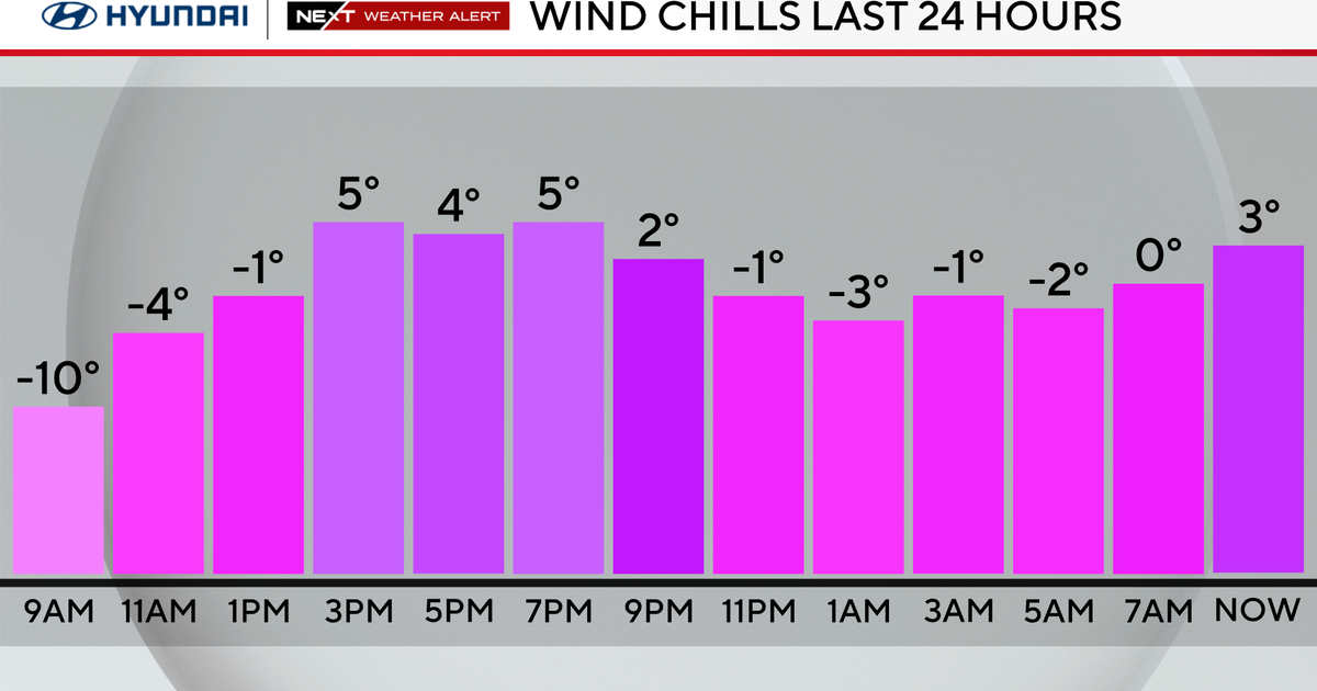
A bona fide winter airmass sits over us this morning with morning lows in the teens. Cold air over rushing over the warm water has helped to keep the scattered snow showers and flurries going on the Cape and SE MA. Generally a coating to 1" of snow on grassy surfaces from Scituate to Wellfleet. Winter Weather advisory has been cancelled. Ocean effect cloudiness in SE MA will give way to increasing sun. Clouds will linger all day on the Cape with flurries. Cold Canadian high pressure is supplying the coldest air of the season so far. With low sun angle this time of year, highs will remain in the 20's and lwr 30's for highs. Once sun sets, temps will quickly drop off into the teens for most...with lows holding in the lwr 20's right at the coast.
As impressive as it is, this cold shot will once again be short lived. Winds will be shifting to the SW for Monday and will direct a more seasonal airmass into the region. Sunshine & high clouds Monday with highs in the upper 30's and lwr 40's. Winds will pick up big time in the afternoon with a few gusts over 40 mph ahead of an approaching cold front for Monday night. A period of clouds or a shower Monday night with the frontal passage with building high pressure Tuesday with sunshine and slightly cooler air in the 30's near 40.
High pressure will slide off the coast with clouds on the increase Wednesday. A wave of low pressure will from Texas into the Ohio Valley Wednesday. It's warm front will spread in clouds with showers arriving in the mid afternoon hours with showers continuing right through Wednesday night into early Thursday.
Another low will follow in behind this and up the coast Friday. This will likely stay to the south, but spread in clouds to end the week with it's close proximity. This will have to be watched as any further north track will provide us with a chance of snow. Not getting my hopes up. Building high pressure and sunshine for Christmas eve-Christmas. The day after Christmas may have some more unsettled weather coming up the coast. So there is some potential in the pattern for snow...but today...nothing is showing it. Friday's and Monday's lows will be tracking south of New England....tracks can easily change this far out. It is something we will be watching in the coming days so stay tuned! Stay warm~!


