Arctic Cold Retreats to Rain, Only To Return Again
Arctic air in place today-tonight-through tomorrow keeping temperatures way below from the normal high this time of year year. This is an airmass more typical in the dead of winter...even then it would be chilly! Highs today are 30-35, but winds gusting over 30 are making temps feel like the teens and Lwr 20's
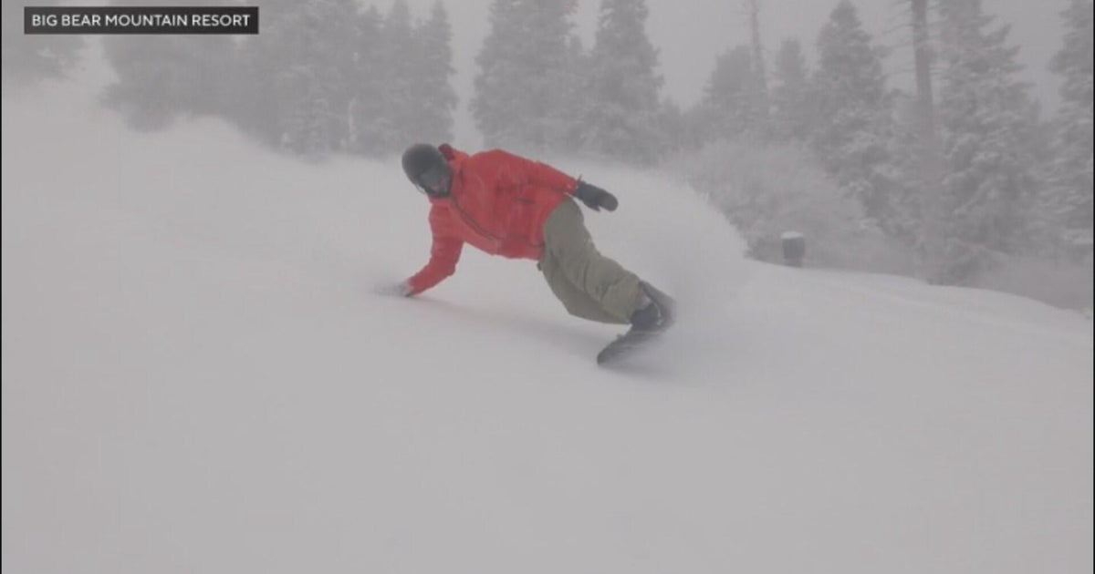
Northern Ski resorts are doing great thanks to the lingering effects of Monday's storm with persistent, upsloping accumulating snowfall. Stowe, VT seeing 31" in the past 5 days. Jay Peak picking up over 2 feet of new snow in the past 72 hours! In has been snowing continuously at Killington for the past 3 days. Click here for the latest conditions!
An upper level trough is in place over New England. Cold arctic air is on the move and will settle over the region tonight for the coldest night so far. Diminishing winds with Clear skies. Lows will drop into the teens, even some single digits in northwest valleys.
High pressure cold builds in for Thursday with abundant sunshine but the cold heavy air at the surface will go nowhere...despite the sunshine..highs will remain in the 20's near 30. The last time it was this cold we have to go back to February 6th of 2010. Make sure to dress properly for this weather.
The trough will lift out with a flatter milder Pacific flow heading towards the weekend. A clipper which will remain along the border of the US and Canada will approach by Friday. It is mostly going to be a warm front to push through. The leading edge of a warmer air for the weekend will rride the cold air in place across the northeast to form clouds. This disturbance may also touch of a few snow showers or flurries Friday night...but it does not look like much at this point...mostly north...little south.
Weak high pressure moves in to start the weekend with a return to a more seasonal airmass. Meanwhile a vigorous storm will be coming out of the rockies and through the plains. This storm will be a snow maker for Iowa, Chicago, Cleveland to Pittsburgh as the low will be an inside runner and track up through the Appalachians. They will be cleaning the snow off of Soldier's Field for the Patriots game in Chicago which promises to live up to it's name the windy city as cold arctic air will be rushing in on the back side of this storm. It looks frigid for game time with temps in the teens and windchills near 0
With enough cold air in place Sunday morning, we may see a brief mix to start as the leading batch of precip approaches. Strong upper level winds from the south will push in too much warm air our way. Expect a steady Rain to develop Sunday, especially by afternoon with periodic downpours and a gusty southerly wind. A general 1-3" of rain will fall from this, as a secondary low will develop south of New England Sunday night and cross through Monday morning with another batch of heavy rainfall with it. As winds shift to the Northwest with the departing storm we may see a quick change over to snow for a brief time Monday afternoon...especially in the Northwest. In fact, the Northwest mountains just may squeeze out a pretty nice snowfall before this is all over.
A deep trough will be in place along the east coast Monday. Colder Arctic air will funnel in with strong Northwest winds behind this departing storm. We will track the polar vortex in Canada which appears to slide right down into the base of this trough and sit near or around New England through much of next week keeping cold arctic air in place with a NW flow from Canada into the weekend of the 18th. Highs should remain in the 20's once the cold air settles in.
Shortwaves spinning around this upper level low may spin off periodic snow showers and flurries...but also help to steer any real storms away from us for another week this December. Another one bites the dust. Such is life in this high latitude blocking pattern.
