Arctic Blast Coming; Storm Looming Ahead Of Thanksgiving
After yesterday's damp and foggy conditions, much drier air has arrived and the sky cleared early this morning as the first batch of cold air surges in from the northwest. The wind will be gusty from the west-northwest at 15-30 mph as sunshine yields to some increasing cloudiness later this afternoon. Temperatures will not rise much from the daybreak lows of the upper 30s and lower 40s.
Check: Interactive Radar | Current Conditions | WBZ Weather Blog | Weather Map Center
Expect early afternoon highs of 42-44 degrees as the festivities get underway at Faneuil Hall Marketplace leading up to the holiday tree lighting at 7:30 pm when it will be back in the upper to middle 30s. You can watch the lighting right here on WBZ-TV tonight.
Meantime, an arctic cold front is charging across the Great Lakes and is destined to pass across the Boston area in the early morning hours of tomorrow. This front will be triggering snow showers and snow squalls across portions of northern New England especially in various mountainous locations this evening and there is a risk that a few spotty flurries and perhaps a widely scattered snow squall will stray into MA in the early morning hours. At dawn, the temperatures will be closer to 20 degrees north and west of Boston with lower to middle 20s from Boston south.
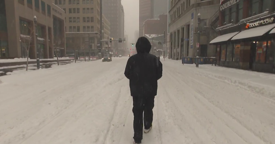
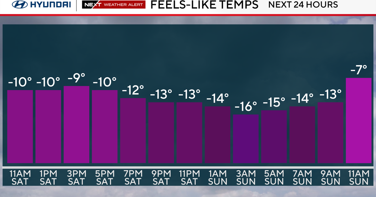
It will only warm up a few degrees to the upper 20s tomorrow as ineffective sunshine and a few patches of clouds are the feature of the sky. The chill will be enhanced by a strong, gusty west-northwesterly wind of 20-40 mph. It will be a frigid night at Gillette Stadium as the Pats host the Broncos. A kickoff temperature under 25 will dip to near 20 by the conclusion of the game closer to midnight and that wind will still be penetrating and numbing.
After a dive to the teens tomorrow night, there will be much less wind on Monday as it recovers to the lower 30s for afternoon highs. Sunshine will be prevalent as a ridge of high pressure shifts across the region. As this ridge passes offshore, we'll be watching the progress of a storm emerging from the Gulf of Mexico on Tuesday. Present indications point to increasing cloudiness on that day with some rain arriving Tuesday night and lasting into Wednesday.
Currently, it is uncertain how much this storm will impact New England. There will definitely be soaking rains over the southeastern states but there is a possibility that the heaviest rainfall will slip out to sea with the first wave of low pressure. If the steering currents propel the system closer to us, parts of northwestern New England could receive accumulating snow to several inches. Other than some lingering wet weather over coastal South Carolina and Georgia with some showers and boomers over Florida, the weather looks decent across much of the nation on Wednesday for travelers reaching destinations for the Thanksgiving break. Whatever happens here in the morning and I am thinking that there will be at least some light to moderate rain, it will cease in the afternoon with some partial clearing possible by sunset north and west of Boston.
Looking way ahead, Thanksgiving Day should be sunny to partly cloudy with a gusty northerly wind. Morning high school football games and road races will take place with temperatures starting out in the upper 20s to lower 30s with afternoon highs in the upper 30s. The wind will be gusty and cold all day! After that, a few flurries are possible on Friday with highs in the middle 30s. Another zone of high pressure will build in from Canada next weekend with highs in the 30s.
If any new data warrants revision to any portion of this prognosis, I will post a fresh update this evening. Otherwise, Danielle Niles will deliver her thoughts tomorrow morning and I shall follow later in the day.
Have a great weekend!


