April Fool's Storm Not A Joke
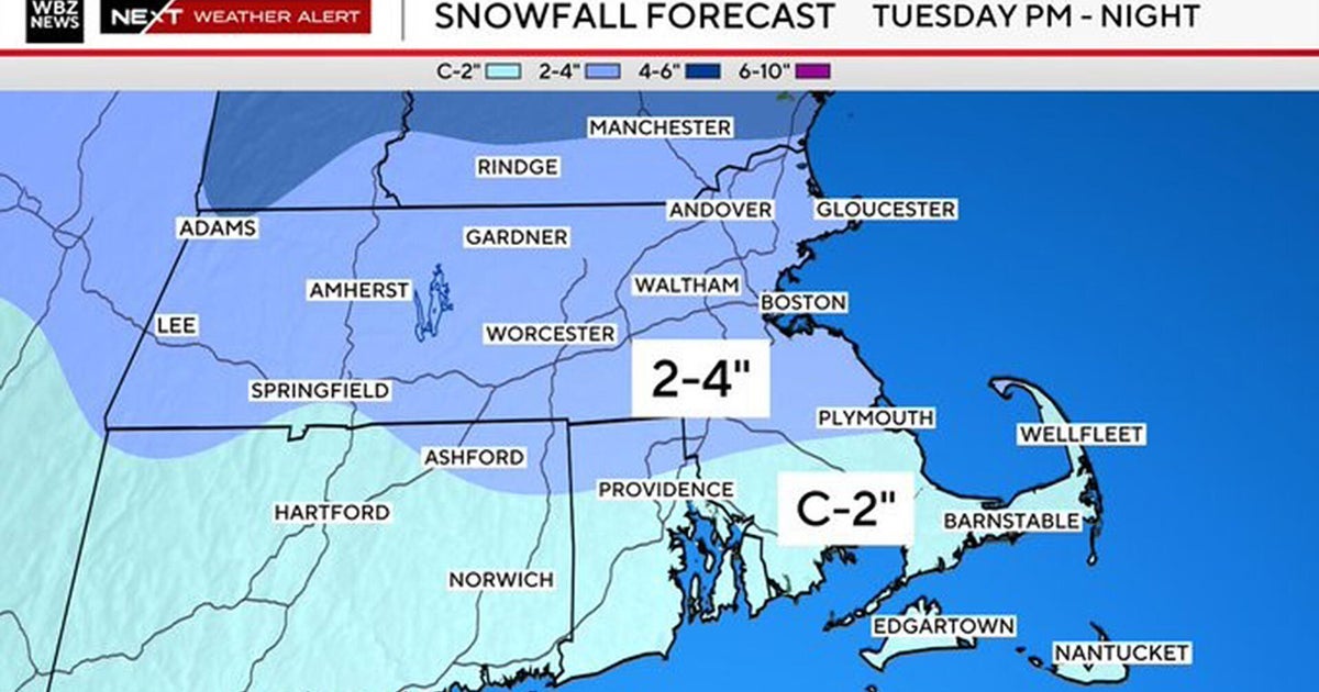
The weather is extremely quiet and boring through the midweek. Plenty has been discussed about it already. We are going to focus on a late week storm which is showing more and more that this could turn into a powerful storm for the Northeast by April Fool's day bringing a heavy mix of rain and wind at the coast and heavy snow for the NW interiors of New England.
This storm is still several days away...so absolutely nothing is nailed down yet...but the purpose of this discussion is to show the pattern in place and the real potential for future development along the coast for the end of the week. There still likely be more changes ahead as we fine tune our thinking in the coming days.
For now, I am just focused on the upper level winds...the jetstream. In the past few days our models have been trying to figure out the copious amount of energy spilling into the blocking pattern. Timing the arrivals has been a bit back in forth. Yesterday, I thought Thursday was our day. Today I see that low will likely be riding south...only to be followed by a more powerful low up the coast for Friday. This could absolutely change in the coming days...but our models are starting to pick up and handle all of this scattered energy a bit better which is giving me a bit more confidence for this storm by week's end.
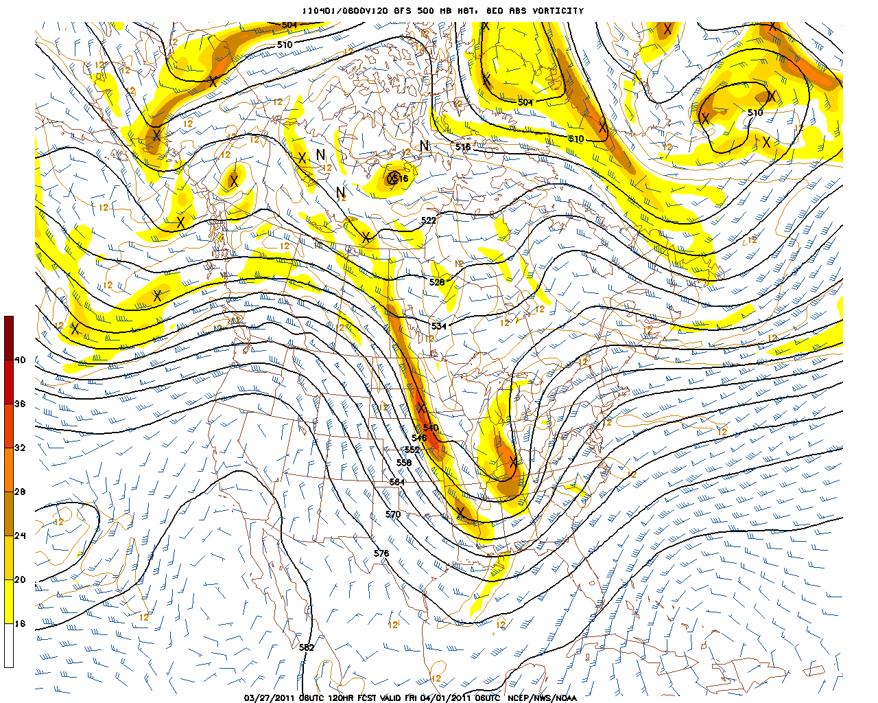
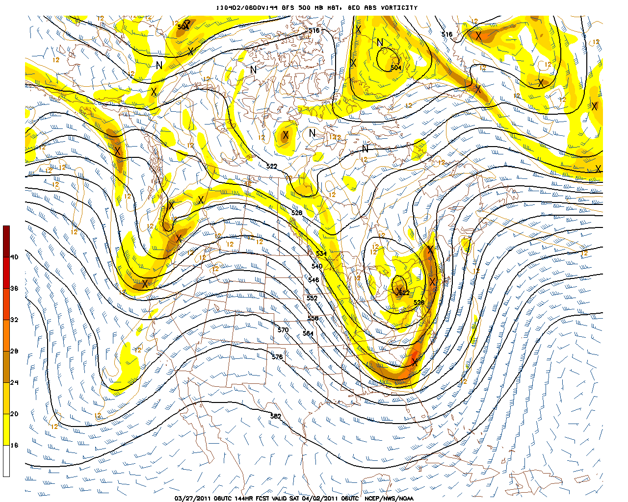
The big difference in the models from yesterday to today is the amount of phasing they are starting to show with the northern and southern streams. This phasing is slowing the pattern and arrival of the storm. As these streams merge a major amplification could occur at the coast as the eastern trough takes on a slightly more negative tilt.
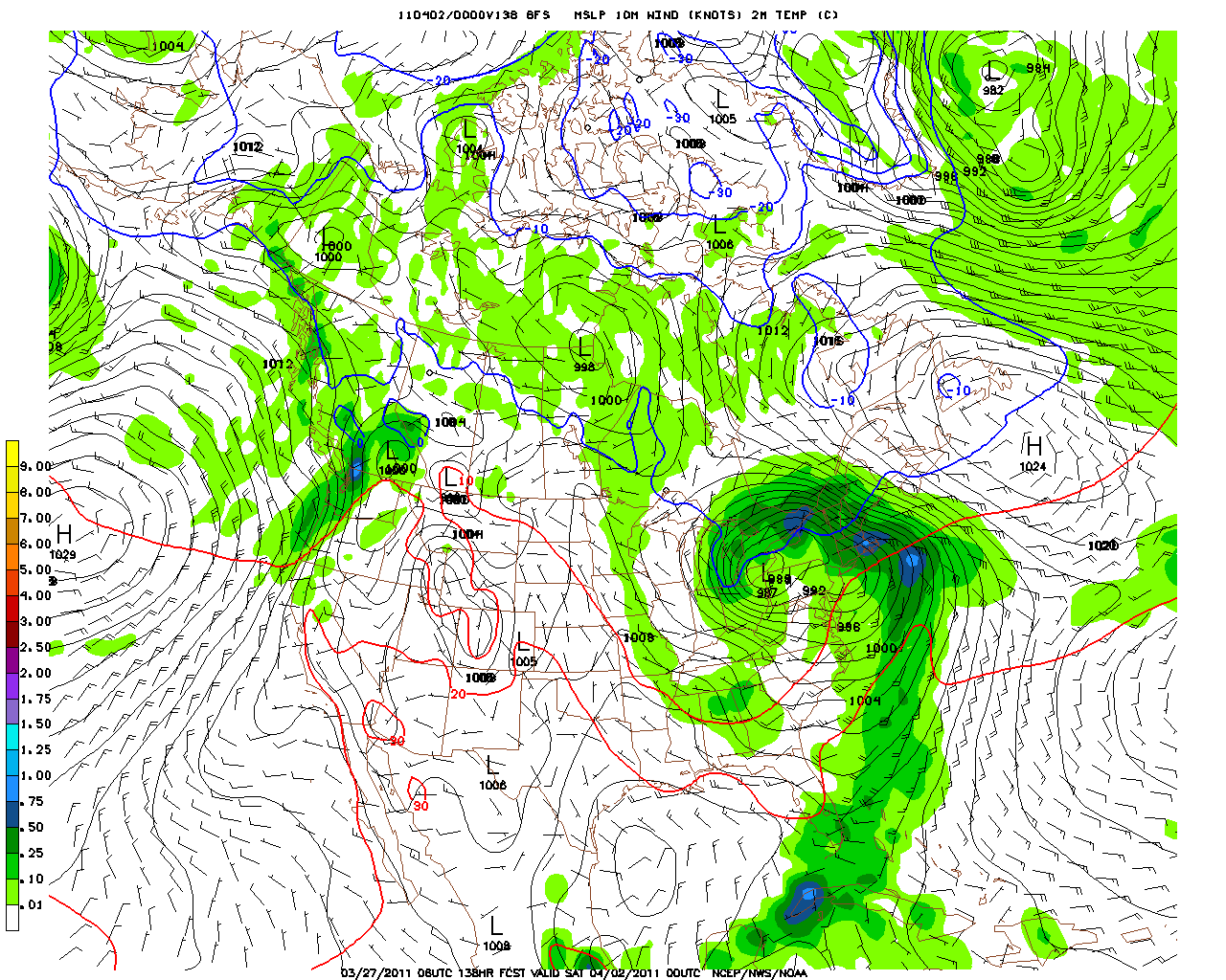
This is the 06Z run of the GFS Thursday night which is showing incredible good upper level divergence along the east coast for lift. Moisture is being directed out of the Gulf of Mexico. This points to a developing storm along the coast.
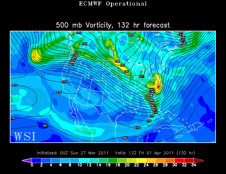
An upper level low will likely track just west of the Appalacian mountains into New England. This appears to have the signature of one low travelling up west of us...with a secondary developing low at the coast. Look at the strong vortmax rounding the base of the trough in bost the GFS and Euro models...which will provide abundant lift to the atmosphere as this low travels through New England.
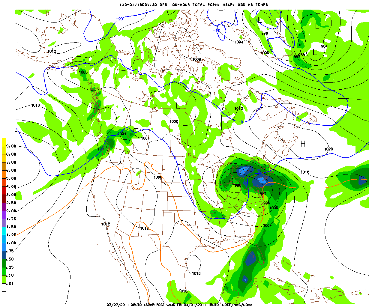
The map below is a mix of QPF and 850 mb temps. The O C line is right across the border of MA at 18 Z. If this is true...the ptype will start as snow Friday morning in Central New England...before the second low will wrap in warmer air and allow a change over to rain in the afternoon. Still northern mountains of New England have the potential for a significant heavy snow fall from this event.
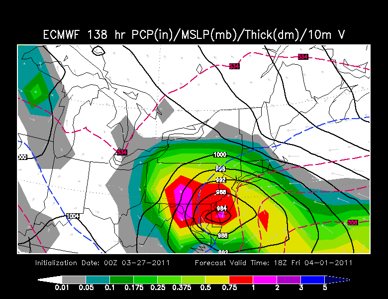
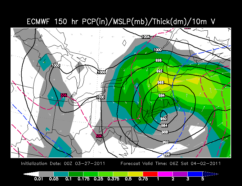
The Euro is a bit different with it's track and set up but still powerful with a 980 mb low tracking from New Jersey up through southern New England. The Euro has a rainy mix Friday which changes to snow by Friday night across a good portion of the region. The exact tracks remain uncertain, but I think it is pretty clear we could be dealing with a significant storm along the east coast which will come with Ptype Issues.
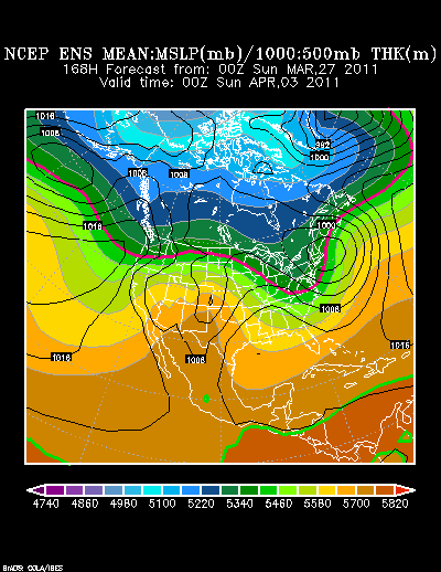
Some of the ensembles have this slowing down and waiting until Late Friday or even Saturday....so again...some wiggle room will be needed here in the next few days, but this storm will likely have a major impact across the northeast and will have the winter weather haters crying even louder than they already are.
This dry pattern with storms riding south of us can not and will not last forever. This late week event should shift things around just enough to get the weather bit more active around here. Heading into April we will be fighting a boundary between a ridge which wants to assert itself and a trough which has no intention of leaving. New England will be along the thermal battle zone as usual. Enjoy the quiet when while it lasts.
PS....If you hear anyone complaining about the cold sunny weather...please remind them 16,000 people died in a Tsunami. Complaining about a little chilly airmass is so _____ . Please fill in the word. Have a great week.
