Another One...
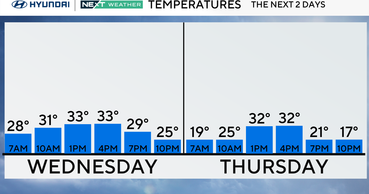
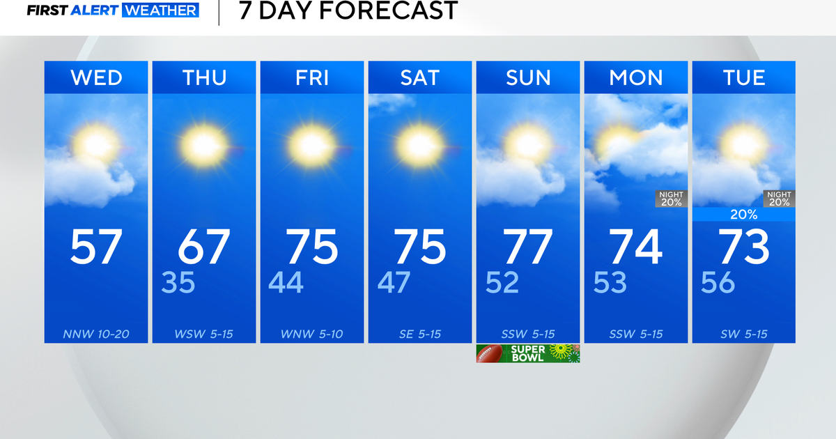
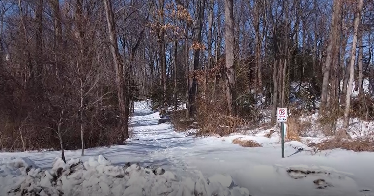
One storm down...another one on the way. High pressure is sending another abnormally cold airmass into New England today...temps aren't going to rise much regardless of the ample sunshine. Winds will be fierce as well gusting close to 30 mph creating windchill values in the teens. With fresh snow on the ground, a clear sky and diminishing wind tonight's lows will drop into the single digits for most!
With the cold around here comes another storm system...this time from the west...and Alberta Clipper. Clipper systems are small but contain an intense packet of energy and are loaded with potential. They are also moisture starved until they hit the Atlantic Ocean where they intensify and are able to incorporate more moisture. Tomorrow's system is expected to slow down and flare up as the storm is sliding east of us this will mean that the highest amounts of snow will occur in Eastern New England. Available moisture will be the key to this one...most indications are for no more than .5 liquid which would equate to 5 inches of snow. Before the storm completely matures there will be a small window for marine air to work in and warm the immediate coastline...so much in SE Mass that snow will likely flip to rain. So one inch or less over the Cape and Islands with a flip to rain. 1-3 inches over the rest of SE Mass and along the Coast through the North Shore. Finally, there should be a zone of 3-5 maybe 6 inches from the NW suburbs through the Merrimack Valley on into Southern Maine.
The timing will be the biggest issue here...light snow breaks out midday but it will be heaviest during the evening commute...not good.


