Another Inside Runner Means Rain Tuesday Night
Merry Christmas to everyone who patrons these blogs. Thank you for your interest in WBZ weather. We hope you find value in our insight. The WBZ weather team wish all of you a very happy holiday season with your families. May you find peace and love in this very hectic and complicated world. I just don't what to think anymore. I wonder where all this is heading? What we are becoming? Is technology making us smarter? Is it making life better? Sometimes I really wonder.
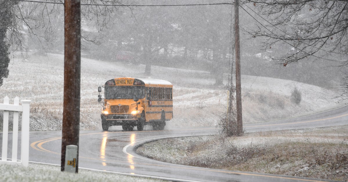
The Good thing is the weather keeps going! It is one of the few things in this life you can really believe in. It is always there, constantly changing, and sometimes likes to remind us who is BOSS! What a delightful Christmas miracle this morning with the band of light snow which developed across eastern MA from 7 AM-11 AM just as millions of households were opening their presents. Many people saw their first flakes of the season along the coast. What a beautiful sight! It was sad to see it push offshore.
A strong vortmax is pushing through tonight and this may spawn a few more scattered light rain or snow showers. SW winds ahead of a cold front have allowed temps to continue to rise into the 30's and lwr 40's. This wind direction with cloud cover will prevent temps from falling off much tonight. Once after midnight, there is a better chance for a brief snow shower as temps begin to cool to near freezing. Across northern New England, there have been scattered snow showers today whitening the ground and roadways. Some slick travel heading up into NH and ME this evening. Energy around the trough along with moisture coming out of the gulf will ride up the coast, but develop far enough off our coast by dawn to have little impact on the region. Strong winds will develop on the back side of this departing low from the NW Monday.
Dry air from Canada will be quickly on the move Monday with breezy NW winds gusting 25-35 mph. With lows in the 30's highs will climb into the lwr 40's by afternoon with bright sunshine. High pressure will be sliding off the coast Tuesday and begin to wrap in warmer SW winds on Tuesday with highs climbing into the upper 40's to lwr 50's. Sunshine will quickly fade behind cloudy skies in advance of our next weather maker. This will be a round of moisture coming out of the Gulf which will become a low which tracks from the Ohio Valley through eastern PA up through western New England. Models have come into better agreement today. This low will be an inside runner which will come with too much warmth and plenty of moisture.
The rain will hold off for most of the daylight hours Tuesday, before a batch of heavy rain moves through Tuesday night with downpours, embedded thunder, strong gusty SE winds, and big waves at the coast. After midnight Tuesday night, colder air will begin to allow some rain to change to snow...but we are talking Northern Vermont here. The rest of us will see about .75-1.5" of rain quickly pushing off the coast early Wednesday morning. A fast moving windswept rain storm. Strong NW winds will follow in Wednesday with gust to 40+. Mild temps in the 40's to start will begin to fall into the 30's by afternoon along with skies becoming partly sunny.
A cold shot of air for Wednesday night into Thursday with lows in the teens and highs in the lwr-mid 30's with clear skies. Skies will begin to cloud over by the end of the week with an advancing weak clipper from the Great Lakes which will bring in increasing clouds as well as the risk of a few scattered light rain showers or flurries. Skies will be increasing with sunshine as next weekend progresses with temps in the upper 30's and lwr 40's.
