An Eye on Isaac and The Weekend
A more humid feel to the air this weekend with dewpoints climbing back into the mid 60's after such a nice comfortable week. This weekend will be dominated by a high sitting over the Canadian maritimes wrapping in a light onshore wind. This will provide plenty of dry air and allow for a pleasant outdoor weekend over all. Unfortunately, there is a weakening upper Low over the mid-Atlantic. This low has been creating gusty winds along the Virginia Capes and well as several inches of rain putting a damper to the weekend weather for these Mid-Atlantic states. SW flow aloft is steering in high to mid-level clouds right into New England from this low to our south. So in essence, we are stuck with a high off the coast and a low to our south. This will make for partly sunny skies through the weekend with highs in the lwr-mid 80's inland and 70's at the coast. Not a bad last weekend of August. (sigh)
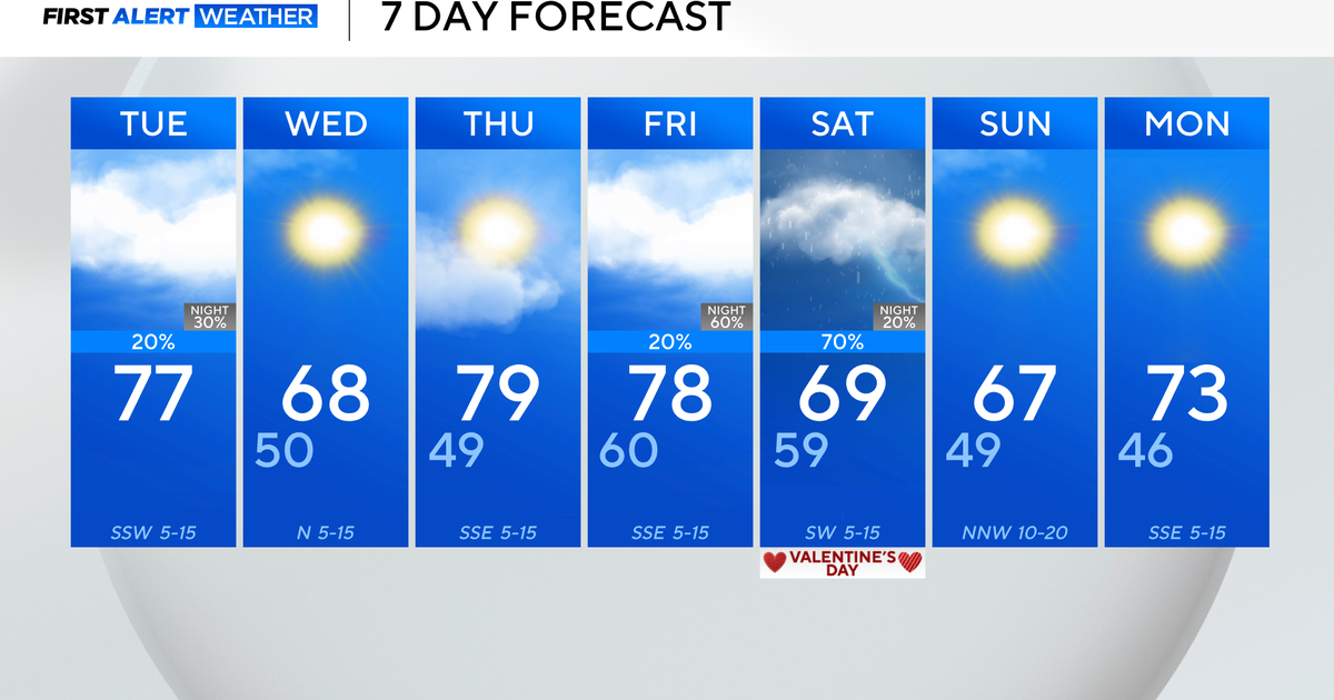
This low to our south, will start to fall apart as it drifts up to New England bringing the chance of a few showers and increased cloud cover by Monday with plenty of humidity in place. A cold front will be pushing through Monday night and Tuesday morning with the chance of a few more showers. Temps will remain warm and muggy with SW wind and highs in the lwr-mid 80's. Once the front passes, NW winds will shift in to provide a beautiful and refreshing airmass from Canada for the midweek...Wed-Thursday..70's and Lwr 80's. Watch for temps to spike by Friday back to near 90 with a flat flow and west wind.
The Tropics remain the story with Tropical Storm Isaac about to get much stronger in the next 24 hours. Currently sitting over Haiti with 65 mph winds, Isaac will barely touch Cuba and rapidly intensify in the Florida straights before reaching landfall on the Florida Keys or the south coast of Florida Sunday night. Hurricane preps are hopefully underway for these places including Miami who may get some storm surge flooding being on the eastern and stronger side of the storm. The National Hurricane Center has this storm remaining within itself as a Category 1 storm as it tracks along the western coast of Florida and heads to the Florida Panhandle where it is expected to make it's second landfall by Tuesday night near Pensacola. Luckily, this storm will avoid the warmest waters of the Gulf in it's track north to prevent any real intensification...but there is the potential for this storm to become Category 2 for a time with winds exceeding 90 mph. This will be a problematic storm for the entire west coast of Florida and will likely create some delay or postponement to the RNC...but that call will have to made by them. Most of the moisture for Isaac should remain south of the Northest...but will have to be watched as nothing is nailed down yet.


