All Good Things Come To An End...
It has been one amazing stretch of weather I wish would never end. What a delight it has been. Today will make the last day of this stable sunny weather pattern before we start to feel the effects of an upper level blocking pattern which is beginning to take shape. This is a fickle weather pattern which will effect our weather right through the middle of next week...with plenty of complexities and uncertainties the farther out you look. One thing is for sure...it will not be as nice as it has been. So let's get to it.
High pressure is centered south of New England this morning. Temps are cool in the 40's in most locations, even starting in the upper 30's in the western valleys. Sunshine and light SW winds will allow temps to warm up quickly this morning into the afternoon. Highs will be climbing into the mid-upper 70's inland. Winds will be light enough to turn onshore during the afternoon...a sea breeze will keep temps in the Lwr 70s at the beach. High clouds may increase a bit during the afternoon...but just an all around stellar day outside.
Now...on to the bad news...Heavy rain and thunderstorms are coming out of the Gulf. An upper level trough is pushing in to the Northern Plains and will continue to push south. This trough will direct this heavy rain up the Ohio Valley with a developing low on a cold front which will be crossing through New England Tuesday night.
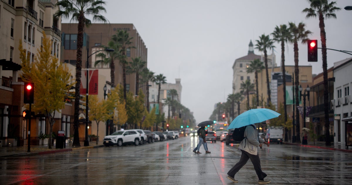
Tuesday will be mostly cloudy, and becoming more humid and breezy. A warm front will approach as low pressure tracks into Western NY. This warm front will likely trigger showers and some locally heavy rain inland Tuesday...with drier weather expected at the coast. Winds will pick up from the south during the afternoon ahead of the cold front where winds gusting over 30 mph will be possible...especially at the south coast. The heaviest rain will wait for Tuesday night where a line of heavy rain will push from west to east through the overnight hours into early Wednesday morning. A low level jet will be racing over us at 50-60 kts. Some of these winds will mix down with the rain, downpours and embedded storms. Winds will likely gust up to 40-45 mph with the passage of this rain...especially at the coast. The National Weather Service has issued a Gale Watch for the passage of this energized front which will likely deliver a widespread 1-2" rainfall with locally heavier amounts up to 3" in Western New England.
Rain and showers will be quickly winding down Wednesday morning as the front pushes off the coast. Clouds will give way to some partial afternoon clearing with temps in the upper 60's and Lwr 70's. There is still some questions just how far off the coast this front will pass. In fact, this front will stall off the coast...the difference of a few miles will have a big difference in our weather. Weak high pressure will be building in for Thursday and Friday...which will make for brighter conditions inland...but the concern is for the coastline closer to the proximity of the front...where clouds may linger with NE winds...along with the potential for a few showers. The Euro model has another wave of showers riding up the coast for a damp morning across eastern MA...while the GFS is the drier solution. We will have to wait and see.
An upper level trough will remain over the Great Lakes through the weekend in an upper level blocking pattern which will remain in place through the middle of next week...before this trough can finally lift out. Plenty of uncertainty remain in this forecast in the extended range in terms of timing and placement of showers. What ever we say today will almost certainly be different from what actually occurs by the time we get there. A front will be pushing through during the weekend...which will trigger clouds and showers. Today it looks like the best chance of showers would be late Saturday and Sunday AM...we will see. Temps will remain slightly below normal with the pattern swing...mainly in the 60's and Lwr 70's.


