Active Week...
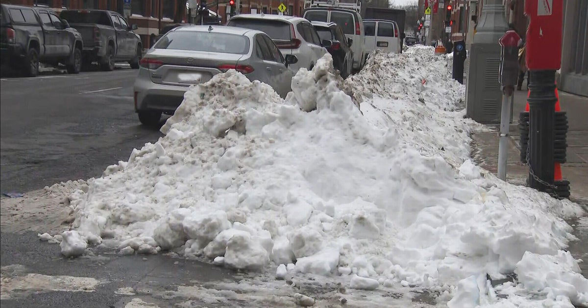
Get your cameras ready, this is going to be a photo finish. Right now, we are in the number one slot along with 1937 and 1925 for the least snowy Februarys on record but because of the leap year February is extended by one day...the day of our next storm.
That storm is currently 3500 miles away, raining on Southern California right now, and will drop a stripe of snow from one coast to the other later this week. The storm will be stretched and drawn out and will deliver us rounds of precip Wednesday evening through Thursday night. The first bout arrives in time for the evening commute on Wednesday and even though temps will be above freezing, with drier air in place I expect it to fall as snow making driving difficult for that commute. That burst of snow should last a few hours before tapering off and shifting north. I see a tough time, as usual, for accumulation on the roads but some will get a little snow covered and slippery especially N&W of Boston.
This storm will come at us in several waves before it finally departs nearly two days later, late Thursday night! Models show that during the course of Wednesday night and Thursday morning the atmosphere will actually warm and change snow to rain for much of Southern NE and beyond...I'm not totally convinced of this yet as there will be a cold high (for the first time in a while this Winter) to our north and cold surface air will likely drain down from the north. This should keep most of the precip as snow Mass Pike northward for the entire event. The biggest obstacle that I see for this storm is the lack of precip. After that first burst Wednesday evening it appears that most of the mid-level lift will slide just north of us inducing the heavier snowbands in Northern NE and nor so much in Southern NE. Granted we are talking only a few miles of difference on a storm that is just taking shape on the other side of the continent but right now the track doesn't look that favorable.
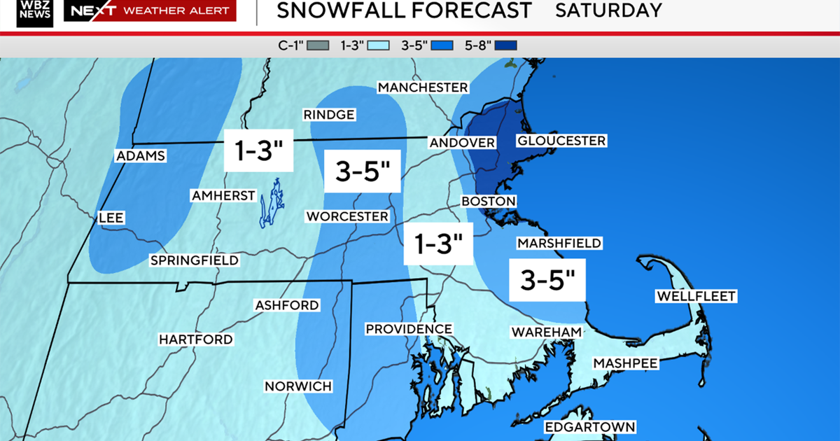
So current estimates are for the heaviest of the snow to fall north of us, another good snowstorm for ski resorts, and not so good for Southern NE. I'd say we are looking at an inch or two in the Boston area (especially N&W), coatings south of the city and the hills of MA may pick up 3-4". Again, this is still very early and adjustments may be necessary. With that said, I do expect measurable snow to fall in Boston as we are wrapping up that final day of February and we are likely to fall out of that first place tie for least snowy Februarys.
