Action at the Coast Tonight, Action in the West Wednesday...Then Summer Returns!
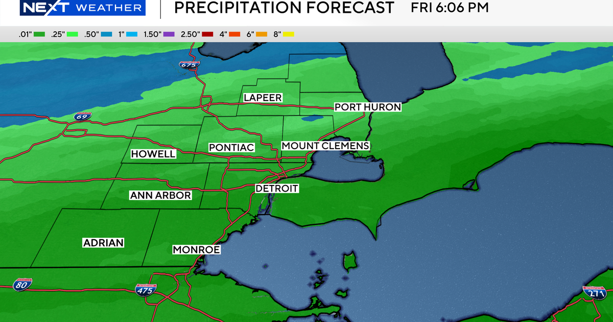
A tropical hybrid low with even an eye feature is tracking right to Nantucket and will be pushing right into the Gulf of Maine by tomorrow morning. This low has brought a heavy band of rain which has been slow to progress northward. heaviest rain has been oun on the Cape & Island and southern Bristol & Plymouth counties. This heavy band of rain has produced over 1" of rain in spots. It will have a very tough time reaching all the way up to Boston. The heaviest rain tonight will likely remain confined in SE MA..especially at the coast. Rain will be filling in towards Boston which will make for a wet evening at Fenway park with rain just light enough that they should squeeze in the game...but it will be wet right through the rest of the night. After midnight, the back edge of rain should begin to shift east and we will notice the rain tapering to showers and drizzle and eventually ending during the early morning hours with drying NW winds on the back side as the low departs. A real soaking rain south of town.
Clouds will be breaking with some partial sun developing Wednesday with SW wind. High will climb to near 80-85. A muggy feel with dewpoints in the 60's. An approaching cold front will push in during the afternoon. There will be enough instability that building cumulus may be able pop a few scattered showers and thunderstorms along this front in the afternoon, primarily in northern and western New england during the later part of the day. I think we will remain dry at the coast. Storms will be slow moving and have enough moisture to work with that we will likely see the potential for some heavy downpours especially across western MA, SW NH and the CT river valley.
After this frontal passage we are looking at an upper level ridge developing on the east coast into the northeast. Persistent SW winds will push temps well into the 80's to near 90 for the end of the week into the weekend with a very humid feel. The weather looks quiet without any real forcing in the atmosphere to provide lift to trigger much in the way of any convection. There is a slight risk of an isolated storm each day somewhere in New England, but most of the time it will be dry.
The next chance of any real widespread precipitation will come Monday with a potent shortwave and widespread showers and thunderstorms likely. Timing will likely change. More comfortable less humid air will arrive by next Tuesday. Enjoy! After a coolish end to the month of July...summer will be back this weekend! Time to hit the pools and beaches!


