About to Get Wet...
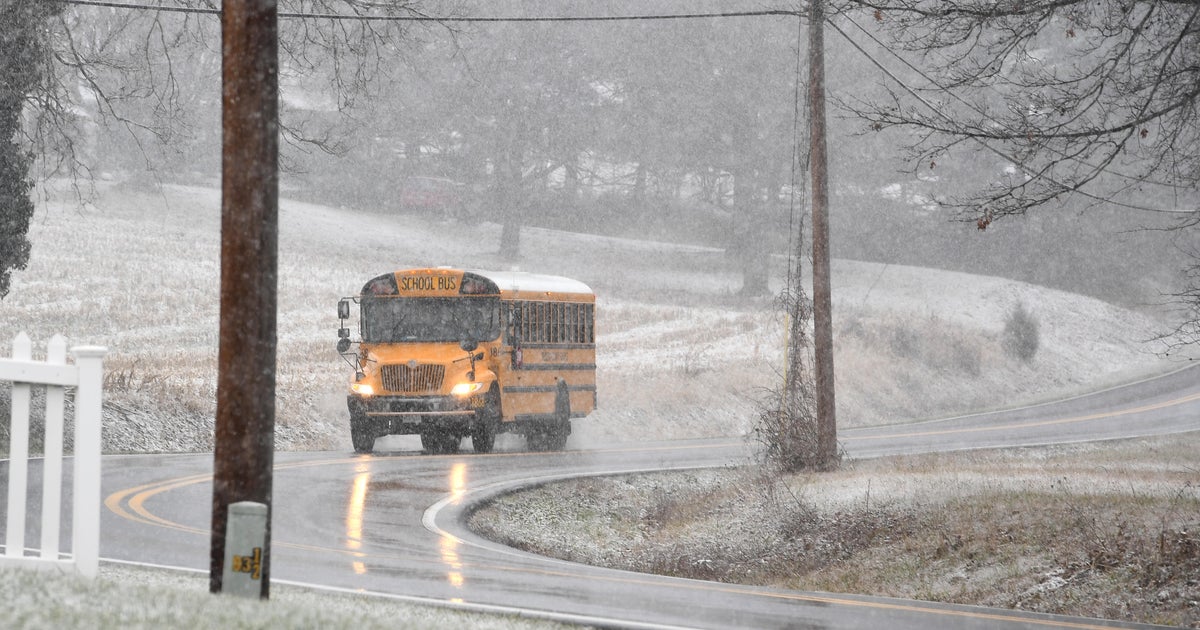
The longest stretch of dry weather since the middle of July...8 days... is about to conclude. A weak area of low pressure is working up the East Coast tapping moisture along the way. This low has very little upper level support but rain formation will be aided by some decent overrunning early tomorrow morning this will lead to a wet morning commute. Most of the lift generated by the overrunning is gone by mid-morning and all that is left over is low level moisture...few showers, mist and drizzle.
Our next chance for rain comes in on Friday with a potent cold / occluded front. This system does have upper level support and it swings through in the evening. Heavier showers and maybe even thunderstorms will soak us Friday afternoon and evening. Following the frontal passage in the evening, much drier air will work in on gusty westerly winds.
Our weekend looks like a solid October weekend...blustery, chilly winds...sun/cloud blend...and temps in the 60s. No it's not the 80s like last weekend but it will be dry and that's always a good thing!

