A Storm is Brewing for Late in the Week...
What a blog by Joe Joyce from earlier this afternoon...I urge you to scroll down and have a read!!! It highlights the potential for a late week storm and the many different solutions on the table at this time.
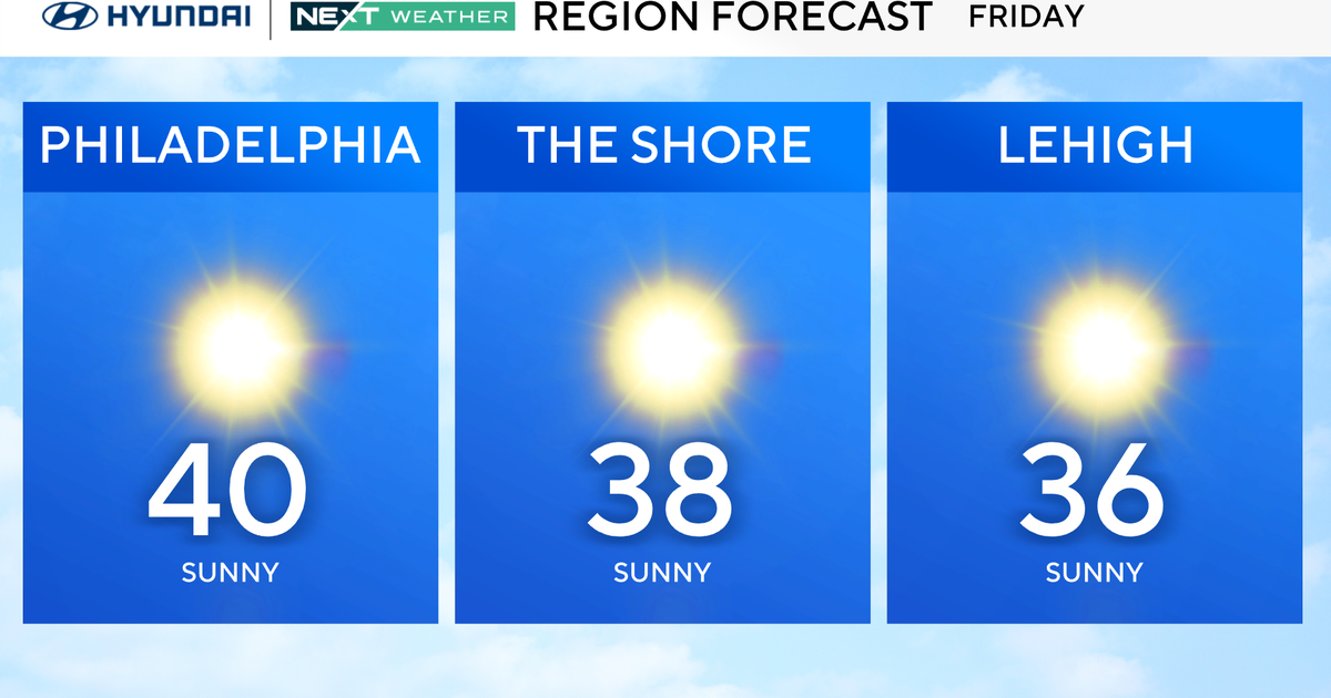
In the meantime, below average temps persist...this is a cold airmass...the temp on top of Mt. Washington is only 1F...mid-winter cold! At least we have the sunshine and that will continue to dominate through the middle of the week. The airmass will begin to moderate too leading to a slight warming trend! Granted this weather isn't perfect especially with the wind creating brisk / chilly conditions even in the strong late March sun. But the wind will relax some by Wednesday.
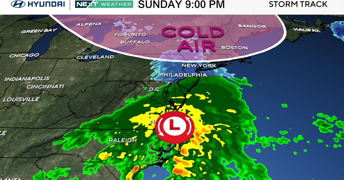
The storm track has been suppressed well to our south due to this chillier than normal pattern but will be creeping back to the north all week long. Given the recent atmospheric set-up I have a tough time believing a westerly storm track...I like the colder solutions for Friday into Saturday meaning cold rain, wet snow or a combination of the two!
Looking far ahead, the NAO index is expecting to become less negative and more neutral next week so a few warmer than average days are likely here and there but I think we are going to have a tough time shaking the overall cooler pattern at least through the middle of April.
