A Solid Soaking...
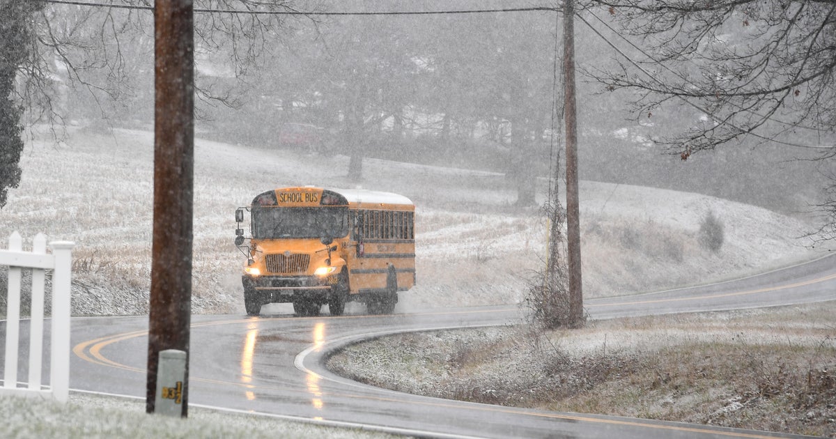
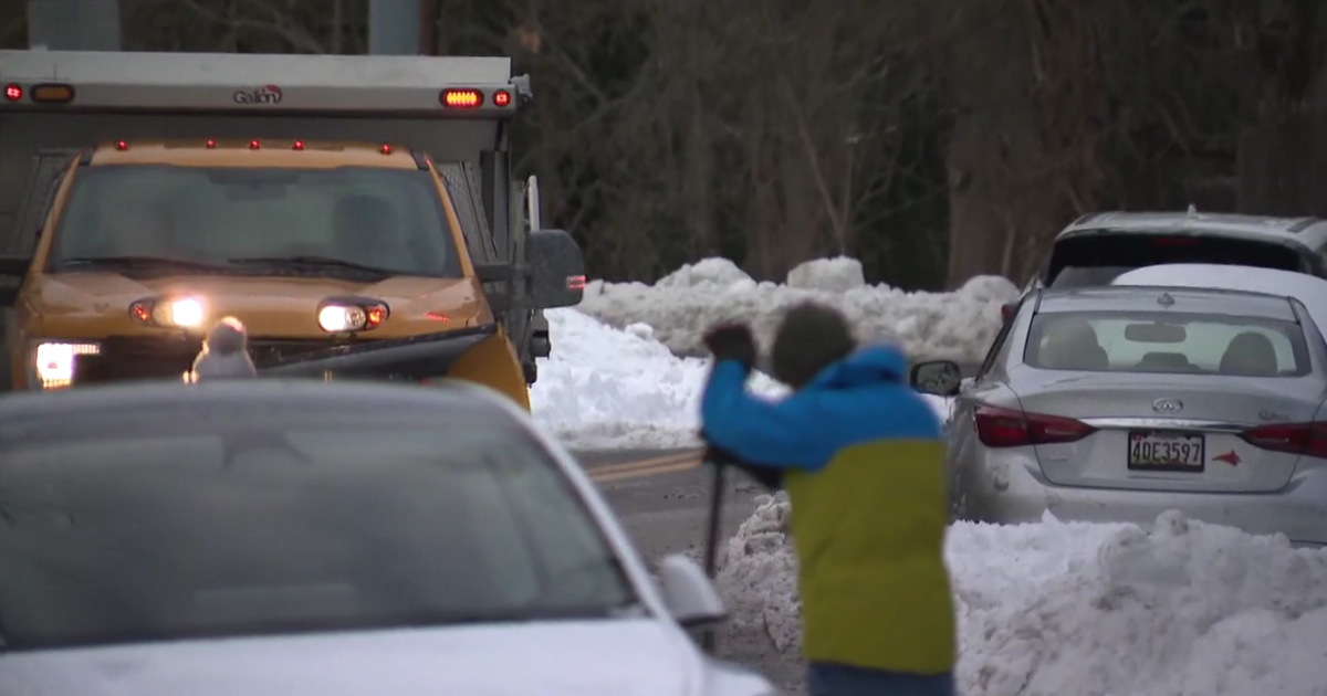
Precip is overspreading New England right now and for most it is starting as rain...there are a few sleet pellets possible at the start for the interior but really in general all of the frozen precip will be seen north of the MA border. This will be a big soaking with rain amounts of 1-2 inches and a few spots may top out close to 3 inches. The heaviest of the rain will fall overnight tonight and tomorrow morning before tapering off to showers and drizzle for the afternoon and evening. Up north, snow and sleet will cause even bigger problems for travelers tomorrow...some of the higher elevations will pick up over a foot of snow with the lower ones picking up a few inches of snow and sleet. Clearly this will greatly impact travel in the Northeast especially in the morning when storm drains will be hard pressed to keep up with the deluge. But tomorrow evening as the storm swirls past us and starts pushing away, winds will pivot to the NW and begin to dry us out for Thanksgiving Day. A stiff morning breeze on TDAY will keep a chill in the air for the high school football games and road races but the wind will settle some by afternoon and with full sun the day will turn out pleasant.
Watch Todd's forecast
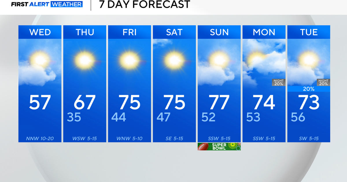
By Friday SW winds will be start the warming up...highs will reach 60 again on Friday with ample sunshine. Originally the thought was for an even warmer weekend but it now appears that a backdoor cool front will work down from the north and keep temps in the 50s...still sunny though.
Drive safely and Happy Thanksgiving!

