A Milder Week Ahead..But The Cooler Air Looms
Well, so far we are getting mixed reviews on this Columbus day weekend. Ocean clouds backed in Saturday and made for a cloudy, cool, damp day in the 50's. Sunday started off with promise, but once again ocean clouds backed in off the water to make for cloudy skies for a large portion of the region with cool temps near 60. Skies began clearing later in the day for some late day sunshine across eastern MA, but it was a little too late. The pressure is on for Columbus day to deliver!
High barometer cold air in place this evening with clear skies, light winds, and low humidity. Temps will be dropping into the mid-upper 30's in many surrounding suburbs overnight with the radiational cooling. After a cool start to Columbus Day, sunshine with light ESE winds will warm temps into the Lwr-mid 60's by afternoon. A cold front will be pushing into New England. This will come with clouds for NNE in the morning. Some of these clouds will spread south during the afternoon with skies becoming partly sunny.
This front will wash out over us and push off the coast Tuesday. With High pressure close enough by, I expect a mostly dry day. Temps will begin to warm into the mid-upper 60's nearing 70 in a few places with partly sunny skies. Mid level clouds will begin to stream northward from a the ocean low well south of New England. These clouds will help fade the sun and even make for a cloudy appearance at times.
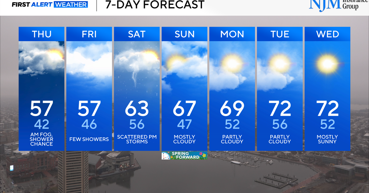
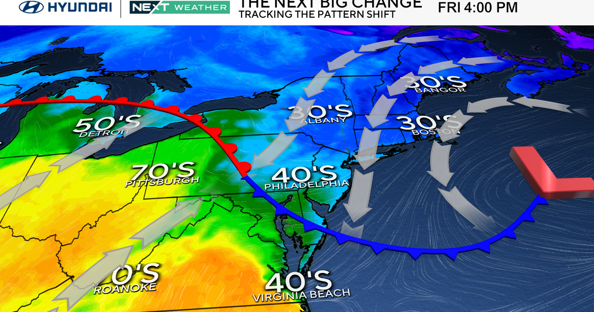
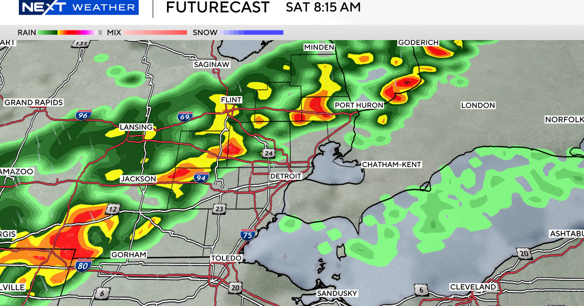
Meanwhile a more potent low will be tracking into the Great Lakes, with a warm front which will begin to push our way as well. The combination of the moisture streaming up the coast along with the approaching warm front will help to trigger showers Wednesday, especially at the coast, along with cooler temps. As showers taper quickly Thursday morning, The cold front will push through and stall just off the coast. As we dry in the afternoon, any breaks w/ a SW wind could spike temps to 70+. There is a risk of a few more scattered showers riding up this stalled front into Friday.
Weak high pressure arrives for next weekend for a dry start for Saturday and temps in the Lwr 60's. There is another wave of showers which could ride up the front for a few more showers early Sunday...but it is too early for any real confidence in this active pattern. What we do know is colder air is waiting to return to the nation. Temps will start to cool into the 50's by the end of next weekend. It will likely become much colder by the 23rd of October where we could be looking at the beginning of a pattern change to more active and challenging weather after an extended hiatus!
