A Look Back On An Amazing Day of Weather
Well, you just do not get to see days like this very often do you? For weather lovers, the past 24 hours was about as good as it has been all winter. Let's start with the snow first. As promised, this storm was going to bring a welcome snowfall to ski country. Over a foot of snow fell from Jay Peak, Stowe, Smuggs, Wildcat, Sugarloaf, Cannon, and Saddleback. Despite the windy conditions...One of the best ski days of the year I am being told, and I do not doubt it. Ft Kent at the northern tip of Maine received over 20" of snow.
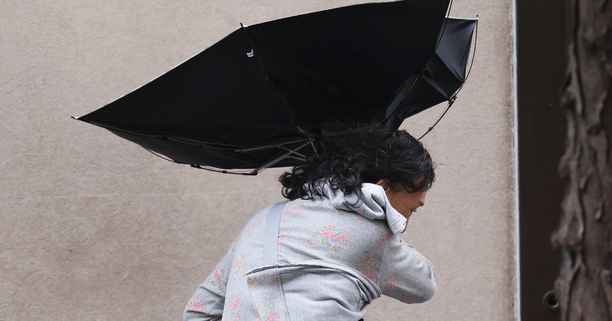
As this storm pulled away, it rapidly intensified into a raging storm with pressures falling as low as 972 mb. Strong winds wrapped in on the back side from the west. Strong winds aloft were easily mixing down to the ground where several areas had gusts to 50 mph or greater. Numerous reports of trees and power lines being brought down in these damaging winds through the day. Rob Macedo and Carl Aveni of the National Weather Service have been collecting reports from our Skywarn Spotters Network throughout the day. Here is there final report of peak wind gusts and storm damage. Pretty impressive.
Then there were the snow squalls and snow showers. This was a bit of a surprise. It is not very often when a band of lake effect snow from Lake Ontario can hold together well enough to make it across the state of New York and penetrate into Southern New England. This usually happens in the Berkshires....but to survive into Metrowest is a very freak occurence! Very heavy squalls were found in the Berkshires with 1-4" of snow fell and roads like the MA pike became snow covered! Snow squalls pushed through southern Worcester county then into Norfolk. Flurries were found all the way to the coast. Steep lapse rates with low level cold air help add to the instability along with the very strong low level jet in place. It all allowed the band of snow to survive and make for bursts of briefly low visibilities. At times even snowing when the sun was out! This all with the strong winds made for a very exciting day.
To end it all, a gorgeous site of the Crescent Moon, Venus and Jupiter in the western sky after sunset. So bright and beautiful along with these howling winds! Here is what we can expect in our early evening sky.
The Wind Advisory has been extended until 1AM Sunday, but it will still be windy through Sunday morning. Winds will gradually diminish in the afternoon and evening. Skies will be filled with sunshine and it will be briefly cooler behind a front which pushed through tonight with the clearing skies. Temps will quickly rise on Monday with SW wind to near 50 and hold in the 40's Tuesday.
Midweek Mash Up
This is something we are going to have to watch in the coming days. A series of low pressure systems will be tracking just south of New England Wednesday and Thursday. The GFS has a warmer wetter solution. The Euro model has a colder snowier look with a NE wind and a colder high to the north. This evening I have trended towards the colder model...we will have to see how the trending will go over the course of the next few days. A mix of snow and rain is likely to develop Wednesday, with another wave to drag in even colder air on Thursday and allow for some snow to accumulate. This is all still up in the air but there is a good chance of snow...especially later Wednesday into Thursday. Question is how much, timing, placement....All good things in all good time!
