A Little, Then a Little More...
Convergence at the surface is evident from the North Shore stretching back into the Merrimack Valley...Nashua and Manchester...this evening. Winds are out of the north in Portsmouth, NH while in Beverly there is a NW wind present...so the max surface convergence lies between those two sites with lesser lift either side of it. With temps around the freezing mark in many locals snow is now accumulating on all surfaces especially untreated ones. All lift shifts east of us just after midnight leaving behind 1-3" just north of Boston into Southern NH with an inch or less north and south of that zone including the city.
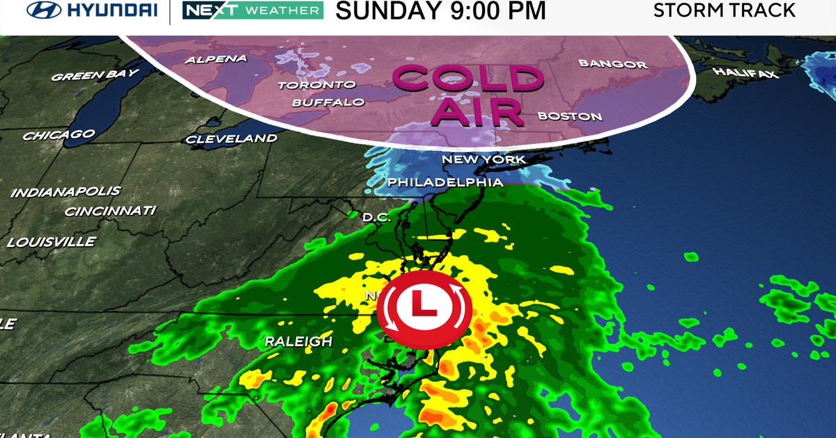
Friday still looks like a quick hitter...roughly 5AM-2PM...nothing major here 3-6" Boston south and 1-3" north of Boston. While the upper level dynamics are good they are showing no signs of cutting off and therefore can't see much more than 6" in any areas. Also, track of the system is pretty far offshore and this continues to be supported by the models. The GFS and EURO have been very consistent run to run over the last couple of days and it appears now that the NAM is latching on to their solution as well after that major blip yesterday.
Following the passage of the storm it will intensify in the Maritimes...it's cyclonic winds will spread out and grab bitterly cold arctic air and escort it into New England for an extended stretch of temps in the teens and overnight lows near or below zero!
