A Few More Days Until The Thaw
It is easy to put the cart before the horse when so many are looking forward to some warmer temperatures. But we still have some cooler air to get through before we can start California Dreamin'!
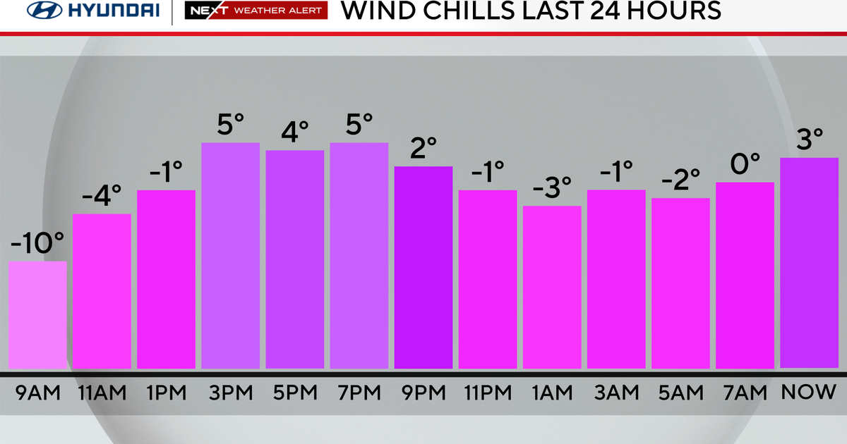
A cold front is pushing through the region this morning with breezy and drying WNW winds. These winds have been gusting over 50 across some northern summits this morning so a few lifts have been put on hold early. A few northern mountains woke up to a fresh 3-6" of new snow thanks to some upsloping mountain snow showers during the overnight. These winds will be diminishing this morning through the afternoon with building high pressure behind the front. Mostly sunny skies for most with highs in the mid-upper 30's by early afternoon. These temps will be falling off by the later part of the day as colder air settles in for the evening hours under clear skies. Another cold night with lows dropping into the lwr-mid 20's. Clear skies to start with clouds increasing after midnight.
On Sunday weak area of low pressure will approach with a warm front. This front will trigger scattered snow showers or flurries by sunrise through mid morning. They will be scattered and light and may even mix with a few raindrops on the Cape. The warm front will slowly lift North during the day with light WSW winds following in which will try to bring in some warmer air, but clouds will keep high in the mid-upper 30's to near 40 again. I expect clouds to start to break for areas of partial sun by Sunday afternoon.
A cold front will push through Sunday night, with a few flurries and gusty NW will usher in another round of cold air from Canada. Bright Sunshine on Monday with blustery NW winds which will diminish by afternoon. Highs will only be in the Lwr 30's. People will begin to wonder "What thaw?" Patience will be a virtue. Cold high pressure will pull away and begin to wrap in a warming SW wind which will start the warm up by Tuesday. Sunshine in the Lwr 40's will be nice. But most are wondering where are the 50's?
The west SW winds will resume through the mid week with an upper level ridge in place along the eastern seaboard. High will be climbing into the 40's and near 50 Wednesday into Thursday. There a few conflicting signals timing short waves flying into the ridge which could trigger a few showers Wednesday Night of early Thursday...while the Euro model keeps us dry and has a more significant rain likely on Thursday night & Friday morning with a low tracking up through the Great Lakes.
The mild flow up the east coast will last through the weekend with another chance of rain by Sunday. After this, any mild air will become broken down and we will be transitioning to much colder times after the 15th of January. In fact, the end of January could become very cold right into February. Cold air will lift out in Canada, but reload and should be steered right back into the US to end the second half of the month.
So if this warmth gets you thinking the back of winter is broken...don't be fooled. It is just your regular January Thaw which happens almost every year. There is plenty of winter cold left in the tank. As the cold presses south, the temperature contrast in the southern states will get the storm track activated once again.


