A Drier Result for End of Week...
The high today was 64 degrees set just after noon and just before the coldfront swept through. Following that, temps tumbled most of the afternoon and we are now in the 40s and 30s! There are still a few lingering post-frontal showers but they will be gone shortly and so will the clouds. Temps will fall to the lower 30s late tonight but the wind should do a number on the puddles out there so dry ice should not be an issue. Despite the chill tonight, strong morning April sunshine will warm us back to near average temperature levels...low to mid 50s by early afternoon. At that point, the next fast moving system will promote increasing clouds and some scattered evening showers...no more downpours though so nothing too terrible.
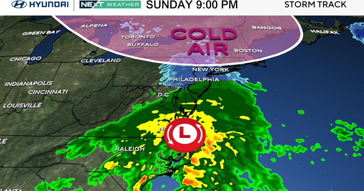
It now appears that the baroclinic zone will set-up a little farther south for the second half of the week. This means most if not all rain will stay in the Mid-Atlantic...it will still be close so it has to be monitored but for now a dry home opener for the Sox.
Over the weekend, high pressure will be establishing itself off the East Coast and ridging aloft will allow for atmospheric warming. The warmth will be pumped north up the coast on the backside of the high and temps will rise from 50s on Saturday to 60s on Sunday and the potential is there for even warmer temps either Sunday or Monday (70+!). The air will become increasing muggy too and eventually we will squeeze out showers and maybe thunderstorms early next week with a coldfront.
