A Brief Reprieve From The Big Chill
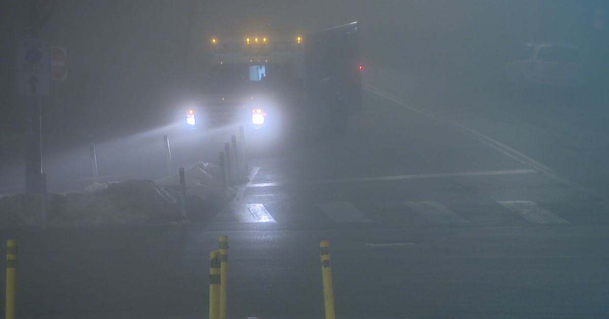
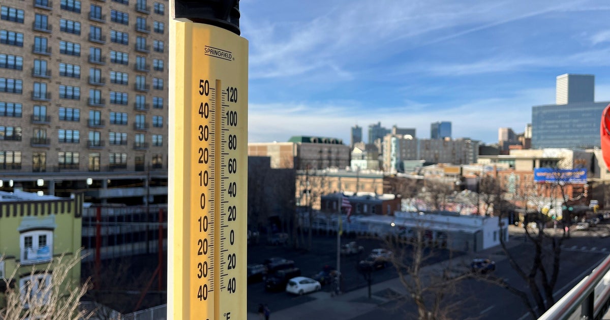
We have now gone 9 days with temperatures at or below freezing. An incredible stretch showing the depth and duration of the cold. You would have to go back to January 16th-28th to find a stretch of cold air lasting that long! We will slowly climb out of it starting today. Temps this morning are cool and still below freezing. Spotty freezing drizzle overnight has made for slippery sidewalks and pavement with a light glaze on many of these cold surfaces.
High pressure to our north is supplying cold dry air at the surface with a light North wind. The cold heavy air will be slow to depart. Low clouds are locked in place thanks to an inversion with warmer air aloft overriding this colder air at the surface. A warm front stalled to our south and will remain there all day helping to keep light NNE winds in place for most of the day. Northern New England has a better day with more abundant breaks of sunshine...away from the warm front. In fact, many northern ski areas have a new 4-6" of snow making for a great ski day! Under mostly cloudy skies, highs will take most of the day to climb into the mid 30's.
Tonight, the warm front will begin to push through the region. A batch of showers along this front will be moving west to east from the Great Lakes and through the region tonight. Concern for pockets of freezing rain in the NW colder valleys. Steadiest of the rain will be in the north with scattered showers south. Winds will be shifting to SE as front shifts north and temps will gradually rise overnight into the mid-upper 30's nearing 40 by dawn on Wednesday. The door will be open for the mild air to come flooding into the northeast Wednesday. The only fly in the ointment will be abundant cloud cover which will be streaming up the coast with breezy SW winds. Some of our models are spitting our some scattered light showers or drizzle along with the clouds. This would keep temps cooler in the Lwr 50's. A Partly sunny day would spike temps into the Lwr 60's. So I am going with a compromise of Mid 50's for Wednesday with breezy SW winds and plenty of clouds and even some spotty showers or drizzle..
The winds will be picking up ahead of an energized cold front which is helping to trigger severe weather in the Gulf states today. There will be the potential for tornadoes in Mississippi, Louisiana, and Arkansas, & Missouri. This front will push through New England Wednesday night with a batch of heavy rain with the chance for an embedded thunderstorm. Some areas will exceed and 1 of rainfall. A strong low level jet will be steering this heavy rain right into the NE. The concern is some of these strong winds could mix to the ground in any heavy showers. A high wind watch is up for southern Coastal waters to the Cape and up the South shore for Southerly winds 20-40 MPH with gusts to 45-55 Wednesday night. The cold front will push off the coast early Thursday morning. Thursday mornings commute could see some early heavy rain before it quickly winds down. Temps will be starting off near 50 on Thursday with temps falling into the Lwr 40's by days end as skies will be clearing and temperatures cooling with breezy WNW bringing back another shot of colder air.
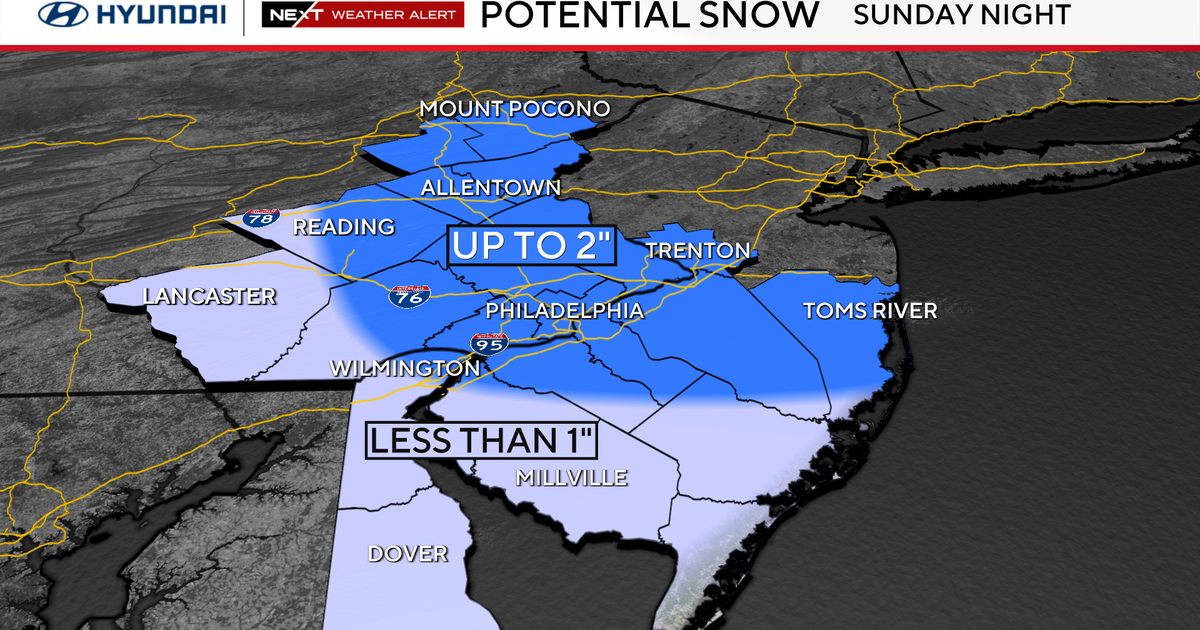
This time around the air does not appear as cold as what we had a week ago. In fact...I would be shocked if we got that cold again all winter. That kind of airmass comes along only once or twice a winter. Instead, temps will average below normal heading into the weekend...but only slightly with highs in the upper 20's and Lwr 30's with a mix of sun and clouds. The coldest air should remain in Canada. A boundary will remain in place separating the mild from the cold to the north from the mild to the south...but it looks like a fairly dry dividing line..with mainly times of clouds and sin for the weekend. Still, this boundary will provide the necessary lift along with any passing short wave to trigger a few flurries or a snow shower at any point. We will have to watch a clipper which will dive in from Canada through the Great Lakes and could provide for some accumulating snow on Sunday. Another Clipper..this one stronger.. could ride to our south and give us another chance of accumulating snow by Tuesday. We'll see how all this pans out. We are definitely moving into a pattern more prone for fast moving moisture starved clippers than full blown mature Nor'easters. Still even in a clipper pattern...sometimes you can get a small heavy snowfall if you are lucky! We are due!
Thanks to this pattern, The cooler than normal weather will likely last through about February 8th with a persistent trough in the Northeast, the cooler air will begin to lift out from the 8th-15th...with some moderation to the airmass. What happens after the 15th? As Hillary Clinton would say..."What does it matter?!" The winter will entering it's final stages by then...
