A Bait Ball...
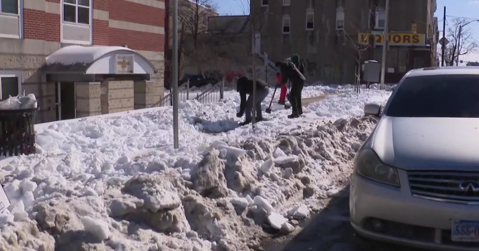
Well, I was wrong...the warm advection precip did get to us...and because of it most towns have between 1-2" on the ground...and totals will once again have to go up to compensate for the snow on the front end. That surge of moisture is now exiting and we wait for the meat of the storm...the upper level energy...which isn't expected until around 11PM. That bundle of energy is intense and rates within have reached 2" per hour around Dulles and Reagan National in DC. That part of the storm is dense as well so rates should be able to hold at or above an inch per hour from around midnight to about 5AM. I kind of reminds me of a bait ball you'd see in the ocean...solid bait fish until the edge of the sphere...so because of that , we still expect a sharp cut-off of precip and therefore snow NW of Boston. I realize there has been quite a bit of upping and lowering of snow totals over the last couple of days especially right around Boston and I think a lot has to do with the NW side of the storm and this sharp cut-off...the difference between 10" and 2" is like 30 miles and the models are having a tough time resolving that and therefore so are we. So we have Boston and much of Eastern Mass located in a 6-10" zone with most coming in close to 10" south of Boston in Plymouth and Bristol counties in the heavier QPF. The Cape should also get some good snow especially the Upper Cape...the Outer Cape will be held down due to warming.