2 Beauties...Then A Struggle to Warm
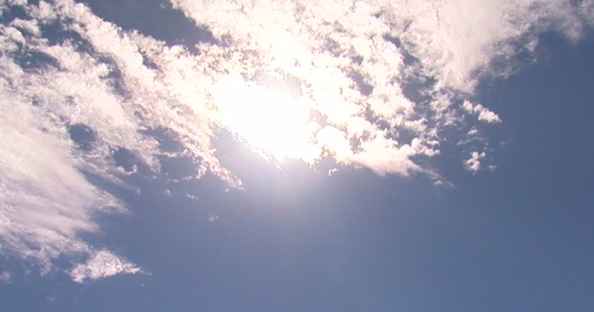
Temps have quickly warmed this morning after a cool start. High clouds overnight helped to keep many areas above freezing overnight. Highs are climbing into the upper 50's and Lwr 60's this afternoon with breezy NW winds providing a bit of a chill to the air. Winds could gust to 20-30 this afternoon. High pressure will crest over New England tonight with clear skies and diminishing wind. Tonight will feature the best conditions for radiational cooling and the potential for some patchy frost early Monday Morning. High pressure pull off the coast Monday with lighter winds shifting to the SW. This will allow temps to climb to near 60-65 by the afternoon. Sea breezes will kick in the afternoon to keep it cooler at the beaches with highs in the 50's
Clouds will be on the increase Monday Night ahead of a batch of rain which will be moving in from the midwest. No more than a 1/4" of an inch from these showers are likely which will mix with drizzle and cool onshore SE winds as a warm front will stay south of New England. SE winds with clouds and damp conditions will keep temps in the Lwr-mid 50's.
Weak High pressure will salvage Wednesday, but low clouds will remain. Mostly cloudy skies with some breaks of sun possible. Southerly winds will warm temps into the 60's, but onshore winds will still keep it cooler at the coast. Upper level ridging will be building on the east coast, trying to pump warmth into the Northeast, but could be denied because of the cooler air at the surface. With a flattening to the flow over New England will become the focus of a stalling boundary separating the two airmasses.
A warm front approaches Thursday with cloudy skies and periodic showers. Southerly wind will try to bring in warmth, but with clouds and any onshore component...we could still be looking at 50's at the coast, with some 60's inland. This warm front will stall over us Thursday. Early this morning, it looked like the warm front would push through for a surge of 70's...Now...Not so much. If anything, it looks like weak high pressure will build down from Nova Scotia, and push the warm front back inland as a back door cold front Friday with winds again shifting back on shore. The front will push back to the CT river Valley where periodic showers will continue to ride along this front which will be providing the focus for surface convergence and lift. Again, with onshore winds we are looking at 50's at the coast...and maybe some lwr-mid 60's inland...especially west.
A a slow moving cold front will start to push through Saturday with still a few more scattered showers and cool SE winds ahead of the front. The extended forecast once past Wednesday is highly variable in terms of temperature, placement of fronts, and timing or precipitation. This will become a forecasting headache for many meteorologists in the coming days with these wavering fronts. It will be a typical spring pattern here in New England...as the Nation warms...we will struggle to warm because of our proximity to the water and the dreaded back door front.
