Storm system bringing heavy rain, damaging winds to upper East Coast
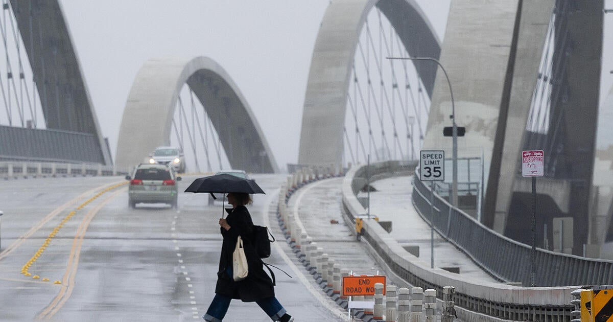
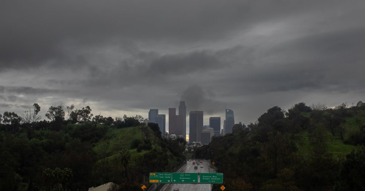
Coastal areas of the Northeast were being hit with heavy rain and strong winds Monday with flooding in many spots as a weekend-long storm persisted. The weather prompted a cruise ship heading to Florida and the Bahamas to dock in Boston, CBS News Boston reports.
CBS News senior weather and climate producer David Parkinson said Monday, "We're in the midst of a huge storm in the Northeast with three distinct threats... flooding, wind and coastal flooding in at least eight states."
He said wind gusts will hit 60 mph along the coast until afternoon, when the wind will be gusting in the 30-50 mph range for much of the Northeast. "This wind is likely to be the cause of most of the flight delays today, and they'll last all day," Parkinson pointed out.
"The coastal flood threat will be significant," he warned. "In Narraganset Bay near Providence, Rhode Island, the water level will be within three-tenths of a foot of its highest point ever. The likely high tide time there is around lunchtime."
Parkinson also predicted "moderate to major flooding along the Long Island Sound, Great South Bay and other coastal" New York waterways.
"The flood threat," he explained, "is due to the prolific amount of rain out of this storm. The moisture tap extends all the way down almost to South America. We've seen 4-6 inches of rain in 12 hours in Delaware, and we'll likely see similar rates in portions of western New England and along the Catskills and Adirondacks. The total rain in a few spots could total 10 inches and many places will see 6-8 inches."
The storm system developed in the Gulf of Mexico and lashed parts of Florida on Saturday and Sunday as it tracked up the coast, sending a deluge of moderate or heavy rain to states farther north, according to the National Weather Service and CBS News partner The Weather Channel.
Photos and videos shared online showed rain drenching Miami on Saturday while a fast-moving storm surge flooded beaches in St. Petersburg. On Sunday, water levels rose quickly in the Charleston Harbor as the storm reached South Carolina, marking the harbor's fourth-highest tide on record and causing "widespread dangerous flooding," according to the National Weather Service. By the afternoon, there was ongoing flash flooding about 40 miles north of Charleston, where meteorologists said 10 inches of rain were reported in some areas.
New York City officials warned residents and travelers to prepare for the oncoming storm that was expected to bring flooding and powerful winds to the area until around midday on Monday.
Meteorologists said parts of New York and northeastern New Jersey would likely see two or three inches of rain, although some areas could get up to four inches. Wind gusts along the coast could reach 55 or 60 miles per hour, potentially downing trees and causing power outages.
As of 7:15 a.m. Monday, some 200,000 homes and businesses were without power in New York, New Jersey, Connecticut, Massachusetts and Rhode Island, according to Poweroutage.us.
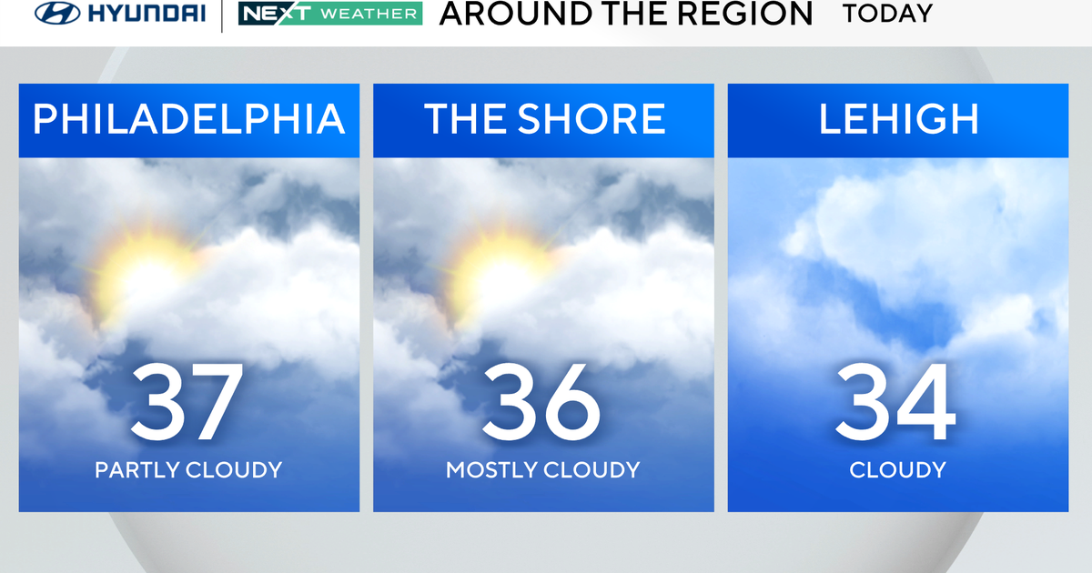
CBS News Philadelphia reported Monday, "With a warm front attached to this system moving up from the south, temperatures are holding steady in the mid and even upper 50s to near 60 degrees," adding, "Things will clear up and dry out by Monday afternoon, and much colder temperatures will move in. It'll go from nearly the 60s to the 40s by the end of the day Monday."
And CBS News Boston called it "another dynamic ... storm system riddled with plenty of moisture, high wind gusts, and noticeably warm temperatures."
Florida Gov. Ron DeSantis announced on Friday he was activating the Florida State Guard to assist the Florida Division of Emergency Management and other state agencies before and during the impending storm. He posted on social media that the State Guard will be ready to assist with "any impacts, including flooding, strong wind gusts & isolated tornadoes."
By Sunday night, the Carolinas and the Mid-Atlantic region were forecast to be "getting walloped," Abrams, the meteorologist, said. Heavy rain, gusty winds and flooding was possible in these areas, according to The Weather Channel.
In some regions, like the Great Lakes, the Appalachias and areas at higher elevations, the rain might turn into snow, according to The Weather Channel.
-- Brian Dakss contributed reporting.
