WEATHER BLOG: Winter Storm Expected To Move In With Ice
Yet another winter storm will move into the region Tuesday night.
Warnings and advisories have been issued by the National Weather Service and are set to go into effect at 7 p.m. The bulk of the precipitation should move in to central Maryland between 10 p.m. and midnight.
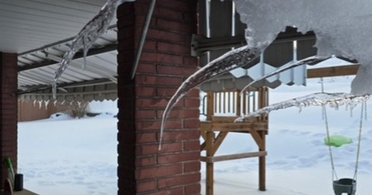
Local impacts include freezing rain with accumulating ice anywhere from 0.1"-0.3," depending upon where you live.
The city will likely only see around 0.1" of ice accumulation, but that is still enough for major travel concerns, especially during the morning commute.
Roadways will be slick, as will sidewalks and any untreated surfaces. The worst of the storm will last from midnight through 7 a.m. Wednesday.
We will transition to mainly rain during the morning hours as temps warm. We will eventually reach a high temperature in the low/mid 40s by the afternoon.
